LiDAR
LiDAR Drones: Discover the use of LiDAR technology in drones. Stay updated on how LiDAR drones are revolutionizing mapping and surveying.

DJI Mini 5 Pro vs Mini 4 Pro – FULL COMPARISON! Worth Upgrading?
The DJI Mini 4 Pro was one of the most successful drones DJI has ever created, and we finally have its successor: the DJI Mini 5 Pro. In this article, we’ll compare them side-by-side to review the new changes, features,…
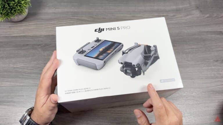
DJI Mini 5 Pro Unboxing
Good day, folks. Shawn here from Air Photography. In today’s video, we’re going to do a quick unboxing of the brand-new DJI Mini 5 Pro. By the time you’re watching this, I’ve already uploaded my full review, so I will…
Drone News: DJI Announces Mini 5 Pro, CA Drone Pilot Sentenced, SAR Drone Shot During Flight
Welcome to your weekly UAS news update. This week, we cover three important stories: DJI’s expected announcement of the Mini 5 Pro, the sentencing of a drone pilot in California for colliding with a firefighting aircraft, and a search and…
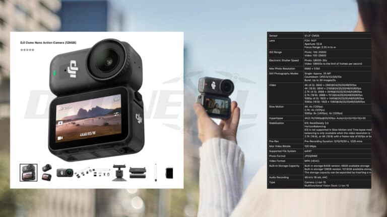
DJI Osmo Nano Fully Leaked By Webshop. Official description, specs and promo pictures out in the open.
Who thought the DJI leaks are over now the DJI Mini 5 Pro is finally out couldn’t be more wrong. The DJI Osmo Nano is set to be released coming Tuesday and my name wouldn’t be Jasper if I would…
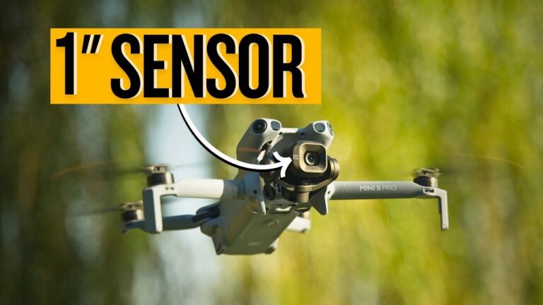
DJI Mini 5 Pro Review – BIG IMPROVEMENTS in ALL The Right Places!
The DJI Mini series has always been about extreme portability without compromise, but with the DJI Mini 5 Pro, DJI has taken things to the next level. For the first time ever, we have a 1-inch sensor on a Mini…
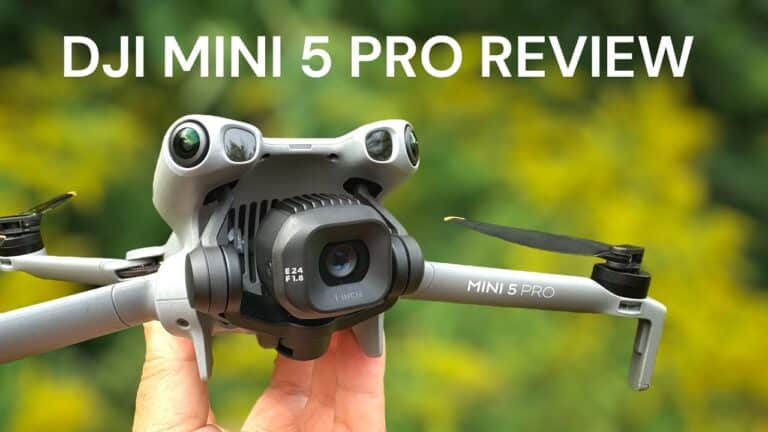
DJI Mini 5 Pro Review – The Mini Drone We have Been Waiting For
Good day, folks. Shawn here from Air Photography. Today is a really exciting day—DJI has officially launched the brand new DJI Mini 5 Pro. In this first look video, I’ll discuss its upgraded features and test out some of its…

Mom, Can I Have An Air 3S? No, We Have a DJI Mini 5 Pro at Home
A September 2025 leak-fest made this the most spilled drone in DJI’s history, but nobody blabbed about its 225-degree gimbal rotation. That’s right—this pint-sized rebel borrowed the fancy moves from its rich uncle, the Mavic 4 Pro, leaving those $4,000…
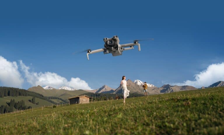
DJI Mini 5 Pro Debuts World’s First 1-Inch Sensor in Mini Drone
DJI today unveiled the DJI Mini 5 Pro, the world’s first mini camera drone featuring a 1-inch sensor, alongside advanced nighttime obstacle avoidance and up to 36 minutes of flight time. The palm-sized, lightweight, sub-250g drone launches globally on September…
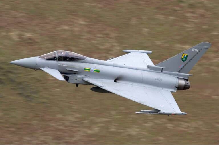
Italian Jets Join NATO’s Eastern Sentry Drone Shield
The new Cold War is being fought with drones, and NATO is scrambling to build a stronger shield. In the latest move to bolster its eastern flank, as reported per AA, Italy is deploying two of its advanced Eurofighter Typhoon…

Ukraine’s New App: Order a Drone Like a Pizza
In wars of the past, supporting the troops meant sending care packages filled with socks, letters, and chocolate. In the 21st-century conflict in Ukraine, it means sending a quadcopter with a thermal imager. A new crowdfunding platform, UNITED24, is now…
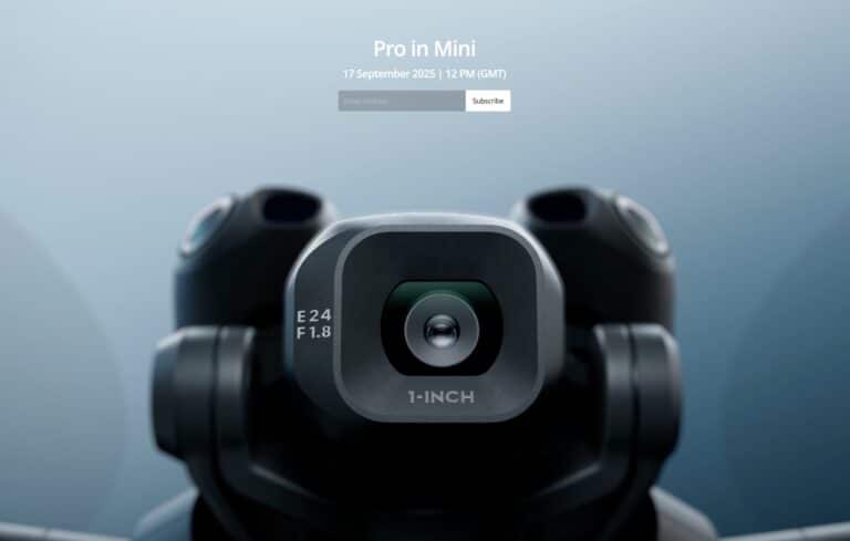
DJI Mini 5 Pro teased with 1-inch sensor; ‘Pro in Mini’ launch set for Sept. 17 at 8 a.m. EDT
DJI has scheduled a “Pro in Mini” launch for Wednesday, Sept. 17, 2025, at 8 a.m. EDT, with its official teaser video showing callouts for a 1‑inch sensor, 24 mm lens, and f aperture—strong signs the DJI Mini 5 Pro,…
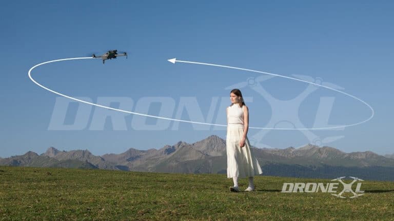
DJI Mini 5 Pro: official description, full specifications and release date
Time to drop the really big bomb on the DJI Mini 5 Pro. After months of speculation, boxes, images and video, today I finally stumbled upon the official full DJI Mini 5 webshop description. Some spanish webshop leaked the promotional…


