
Wildfire · FAA
FAA Touts 2.2 Million UTM Drone Flights at AUVSI. Part 108 Still Waits
At AUVSI the FAA cited 2.2 million deconflicted UTM flights and a type certification rethink, but gave no date for the Part 108 BVLOS rule.
News, deep dives, and analysis — every Wildfire story, newest first.
Wildfire is becoming a drone story in both directions at once: unmanned aircraft as the future of detection and suppression, and hobby drones as the thing that grounds the aircraft doing the work. This desk covers both, because fire season does not separate them.
The promise is direct: find the fire from orbit, kill it before minutes become hours — detection, mapping and suppression going unmanned, with Cal Fire already testing Seneca drone packs that launch themselves. The practical present is data tooling: BRINC shipped free wildfire smoke layers in days, built on NOAA feeds, warnings and all.
The shadow side is the airspace fight. Spokane’s hobby-drone incursions grounded firefighting aircraft 26 times in a season, and the response reached an FBI task force forcing drones down over the fires. Every grounding is a fire burning unfought — the incursion coverage lives on the drone incident desk.
The crews flying the real missions are on the firefighter desk, and the sensors doing the finding on the thermal desk. Every wildfire drone story lands in the feed below.
Last updated November 10, 2026 — the feed below updates with every new story.
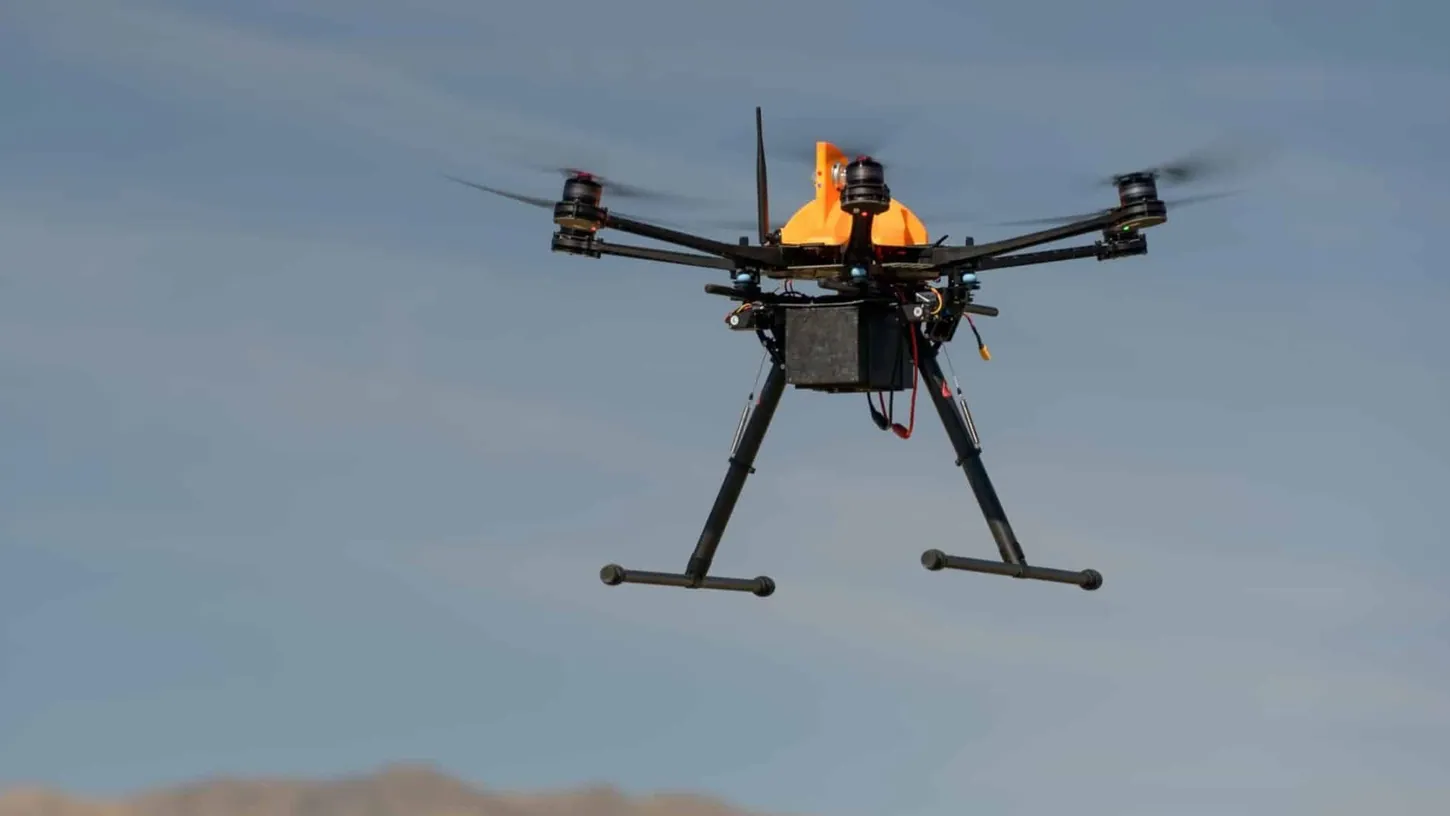
At AUVSI the FAA cited 2.2 million deconflicted UTM flights and a type certification rethink, but gave no date for the Part 108 BVLOS rule.
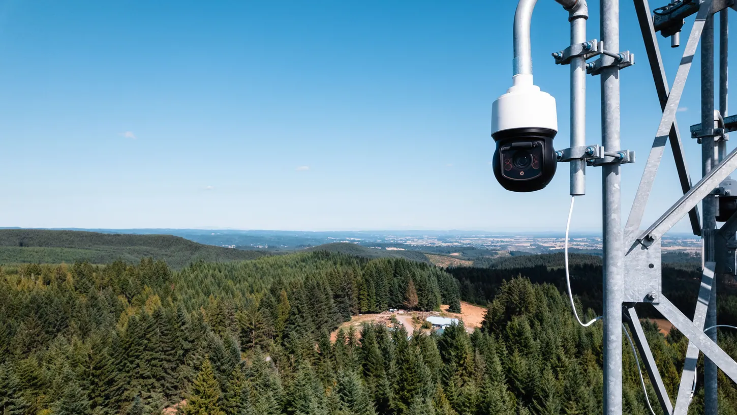
Pano AI's Drone Partner Program sends wildfire detections and coordinates to Seneca, Rain, BRINC and Censys drones. Its launch graphic adds Skydio.
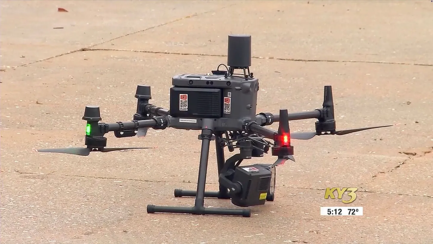
A Logan-Rogersville drone showed Highlandville crews a 200-acre Stone County, Mo., fire had jumped a river. It was the chief's first drone at a fire.

An FBI-led counter-drone unit built for the FIFA World Cup detected 41 unauthorized drones over the Spokane wildfires in four days and used electronic countermeasures to force them down. No pilots were arrested; the cases went to the FAA with fines of up to $100,000 each.

BRINC added live wildfire detections and smoke coverage to its LiveOps software at no additional cost, shipping the feature days after an engineer prototyped it. The layers run on NOAA satellite data that the agency itself labels strategic guidance rather than tactical fire intelligence.
Satellites that spot a classroom-sized fire and pilotless water bombers like Marcos Aerospace's Quencher point one way: the first 30 minutes of a wildfire belong to unmanned aircraft.

Civilian drones entered restricted airspace over the Spokane County wildfires at least 26 times in three days, repeatedly grounding helicopters and air tankers while three uncontained fires burned homes below. Two operators have been cited, and the cases have been referred to the FAA.

California says its AI-enabled ALERTCalifornia cameras have flagged more than 900 fires before any 911 call, while FireSat satellites and drone programs deepen the state’s wildfire tech stack.
Detection first — spotting ignitions while they are still minutes old — then mapping, hotspot hunting with thermal, and increasingly suppression itself: purpose-built firefighting aircraft and self-launching drone packs Cal Fire is already testing. The strategy is simple to say and hard to build: find the fire from orbit, kill it before minutes become hours.
Because a tanker pilot cannot share low-altitude smoke with an unknown drone. Spokane logged 26 groundings in one season, each one a fire burning unfought — which is why the response escalated to an FBI counter-drone task force forcing drones down.
The practical end is data: BRINC shipped free wildfire smoke layers to responders in days, built on NOAA feeds — with NOAA's own warnings attached, which is the honest caveat about weather data in life-safety use.
One email with the drone news that matters — DJI, FAA, public safety, and everything in between, straight from the newsroom. No spam, no fluff.