Wingtra Launches Game-Changing WingtraCLOUD Software

Check out the Best Deals on Amazon for DJI Drones today!
New Platform Promises to Revolutionize Drone Program Scalability and Collaboration
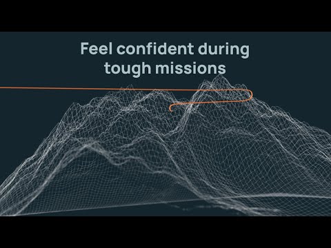
Wingtra, a leading provider of aerial data solutions, has just unveiled WingtraCLOUD, a groundbreaking software designed to simplify drone data collection and streamline operations. This user-friendly platform aims to address the challenges faced by customers in expanding their drone programs and maximizing the benefits of aerial data.
WingtraCLOUD offers an intuitive flight planning experience, along with features like site-based file organization, advanced 3D planning, and improved cloud syncing. By consolidating multiple software tools into one environment, it minimizes errors and enhances productivity across teams and stakeholders.
Simplifying Site Setup and Team Collaboration
The new software focuses on simplifying site setup and enabling seamless collaboration among team members. Its wireless functionality allows for synchronized field missions and provides real-time insights to regional and global site managers. This level of transparency and connectivity empowers stakeholders to make smarter decisions around complex mission plans and workflows.
“Our aim at Wingtra is to remove the complexity of managing and using advanced technologies,” said Marcos Bayuelo, EVP, Product at Wingtra. “WingtraCLOUD not only streamlines workflows for surveyors but also opens the door to way more adoption of aerial data capture across industries and for all sizes of business.”
Boosting Productivity with Intuitive Features
WingtraCLOUD addresses the limitations of existing drone data software by offering features that boost overall productivity. These include:
- Cloud-based access to projects from anywhere, anytime
- Intuitive organization of flights and files by project
- Simple 3D flight features for junior pilots
- Pre-flight accuracy checks and elevation graphs
- Automatic coordinate transformation based on site specifications
“WingtraCLOUD has made nearly every step of my photogrammetry process simpler,” said Lucas Veteto, UAS and survey technician at DJ&A, P.C. “With WingtraCLOUD I can fly more sites and cover more area in a day with less fiddling with USB drives on site or in the office.”
Empowering Collaboration and Scalability
By bringing stakeholders and teams into closer collaboration throughout the life of a project, WingtraCLOUD aims to make the adoption and scaling of drone data as smooth as possible. Site managers can plan complex areas, delegate flights to less-experienced surveyors, and evaluate changes in real-time. Higher-level stakeholders can sync and check project status from anywhere in the world without waiting for time-zone aligned calls.
DroneXL’s Take
The launch of WingtraCLOUD marks a significant step forward in the drone industry, as it addresses the long-standing challenges of complex software and fragmented workflows. By simplifying the entire process from planning to data sharing, Wingtra is empowering businesses of all sizes to harness the full potential of aerial data.
As drone technology continues to advance, platforms like WingtraCLOUD will play a crucial role in making drone data more accessible, actionable, and scalable across industries. This not only leads to improved efficiency and productivity but also opens up new opportunities for innovation and growth in the drone sector.
Discover more from DroneXL.co
Subscribe to get the latest posts sent to your email.
Check out our Classic Line of T-Shirts, Polos, Hoodies and more in our new store today!

MAKE YOUR VOICE HEARD
Proposed legislation threatens your ability to use drones for fun, work, and safety. The Drone Advocacy Alliance is fighting to ensure your voice is heard in these critical policy discussions.Join us and tell your elected officials to protect your right to fly.
Get your Part 107 Certificate
Pass the Part 107 test and take to the skies with the Pilot Institute. We have helped thousands of people become airplane and commercial drone pilots. Our courses are designed by industry experts to help you pass FAA tests and achieve your dreams.

Copyright © DroneXL.co 2026. All rights reserved. The content, images, and intellectual property on this website are protected by copyright law. Reproduction or distribution of any material without prior written permission from DroneXL.co is strictly prohibited. For permissions and inquiries, please contact us first. DroneXL.co is a proud partner of the Drone Advocacy Alliance. Be sure to check out DroneXL's sister site, EVXL.co, for all the latest news on electric vehicles.
FTC: DroneXL.co is an Amazon Associate and uses affiliate links that can generate income from qualifying purchases. We do not sell, share, rent out, or spam your email.


