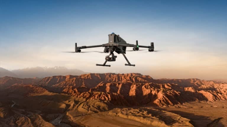
DJI Terra 5.0 Update Introduces Photorealistic 3D Gaussian Splatting for Enhanced Drone-Based Mapping

Check out the Best Deals on Amazon for DJI Drones today!
DJI Enterprise released version 5.0.0 of its DJI Terra software today, incorporating photorealistic 3D Gaussian Splatting to produce highly realistic digital twins from drone imagery. This update accelerates LiDAR and multispectral data processing while integrating a seamless hardware-software workflow, addressing the needs of 3D reconstruction professionals in fields like surveying and urban planning.
Core Technological Advancements
The standout feature, photorealistic 3D Gaussian Splatting, generates detailed 3D models from photos, excelling in rendering complex elements such as reflective surfaces, transparent materials, and dense vegetation. This technique creates translucent Gaussian ellipsoids that render in real time, outperforming traditional photogrammetry by delivering distortion-free orthomosaics and immersive visuals. Building on that, the update enhances LiDAR reconstruction for industrial uses and multispectral support for agriculture, enabling simultaneous output of point clouds, 2D maps, and 3D models even in challenging scenarios.
Processing efficiency sees major gains. DJI Terra now handles approximately 500 images per hour, reconstructing a city block in 30 to 40 minutes. 20 For datasets exceeding 10,000 images, Gaussian Splatting processes twice as fast as previous mesh pipelines. LiDAR-based 2D map reconstruction speeds up by 20% to 50%, depending on hardware and data volume. These improvements stem from optimized algorithms that fuse LiDAR and RGB data, ensuring centimeter-level accuracy via tools like D-RTK 3 with PPK, even without network signals.
Benefits for Drone Operators
Professionals and recreational pilots benefit from reduced hardware demands and faster workflows. The software requires just 4 GB of GPU memory and 32 GB of RAM for Gaussian Splatting tasks, processing 300–400 images per gigabyte of RAM and handling up to 30,000 images per job. This lowers barriers for users with standard laptops, enabling on-site model generation with one-click operations. A redesigned interface includes reconstruction parameter templates, improving usability and display clarity.
Economically, the update supports high-efficiency cluster processing for large-scale projects, scaling reconstruction via distributed computing. Output formats like 3DTiles, PLY, GeoTIFF, FBX for meshes, and LAZ for point clouds enhance compatibility with third-party tools, facilitating data sharing and collaboration. This raises questions about cost savings, as quicker turnaround times could minimize fieldwork expenses and boost project throughput.
Real-World Applications and Implications
The update shines in diverse applications. For urban mapping, DJI Terra pairs with drones like the Matrice 400 and Zenmuse P1 for efficient large-area data capture, reconstructing datasets into photorealistic models suitable for digital city platforms. Preservation efforts for historical sites leverage millimeter-level resolution from the Matrice 4E, creating digital twins that protect cultural treasures and transform tourism, gaming, or VR experiences.
In engineering and construction, on-site annotations and simulations track progress or inspect sites, while agriculture gains from improved machine learning for recognizing features like fruit trees or utility poles. Environmental monitoring benefits from multispectral insights. Operationally, this streamlines aerial surveying, but users should note limitations: Gaussian Splatting lacks support for cluster reconstruction or in-app measurements, and education versions cap at 500 photos.
Trends in 3D modeling favor Gaussian Splatting for its speed and realism, potentially shifting industry standards toward real-time visualization from aerial data. This could expand drone adoption in smart city initiatives, though users must consider hardware compatibility, such as with NVIDIA RTX 50 series cards.
Licensing and Trial Options
DJI introduces new license types: Agriculture, Standard, Flagship, Cluster, and Education, with Gaussian Splatting available in Flagship, Cluster, and Education versions. Licenses offer online or offline modes, with permanent or one-year validity. Existing permanent license holders upgrade for free. A trial version lets users test version 5.0.0 features, including Gaussian Splatting, via a request form on DJI’s site.
Discover more from DroneXL.co
Subscribe to get the latest posts sent to your email.
Check out our Classic Line of T-Shirts, Polos, Hoodies and more in our new store today!

MAKE YOUR VOICE HEARD
Proposed legislation threatens your ability to use drones for fun, work, and safety. The Drone Advocacy Alliance is fighting to ensure your voice is heard in these critical policy discussions.Join us and tell your elected officials to protect your right to fly.
Get your Part 107 Certificate
Pass the Part 107 test and take to the skies with the Pilot Institute. We have helped thousands of people become airplane and commercial drone pilots. Our courses are designed by industry experts to help you pass FAA tests and achieve your dreams.

Copyright © DroneXL.co 2025. All rights reserved. The content, images, and intellectual property on this website are protected by copyright law. Reproduction or distribution of any material without prior written permission from DroneXL.co is strictly prohibited. For permissions and inquiries, please contact us first. DroneXL.co is a proud partner of the Drone Advocacy Alliance. Be sure to check out DroneXL's sister site, EVXL.co, for all the latest news on electric vehicles.
FTC: DroneXL.co is an Amazon Associate and uses affiliate links that can generate income from qualifying purchases. We do not sell, share, rent out, or spam your email.


