Alaska DOT’s Skydio X10 Drone Livestreams Record-Breaking Flood
Check out the Best Deals on Amazon for DJI Drones today!
When a record-breaking glacial flood threatened Juneau, Alaska, the Department of Transportation (DOT) deployed a powerful new tool to keep the city safe: a team of drone pilots. By providing a 24/7, real-time video feed of the rising waters, they gave emergency managers the critical intelligence needed to protect lives and infrastructure and KTOO reported about it.
It was a masterful use of drone technology in a high-stakes disaster scenario. The DOT’s drone team, flying Skydio X10 drones, provided a constant, unflinching eye in the sky, proving once again that unmanned aircraft are one of the most valuable tools in modern crisis management.

A 12-Hour Vigil Over a Swollen River
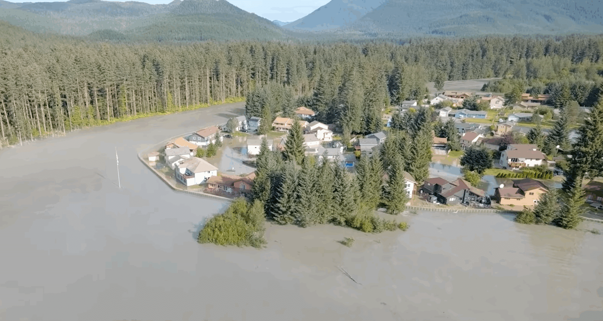
The situation in Juneau on August 13th was dire. A glacial outburst flood was causing the Mendenhall River to swell to unprecedented levels, threatening the city’s temporary HESCO levee and several critical bridges. Getting real-time information was essential, but it was also incredibly dangerous.
That’s where the DOT’s drone team came in. Led by avalanche and geohazard specialist Patrick Dryer, the pilots flew 12-hour shifts, including overnight operations using infrared cameras.
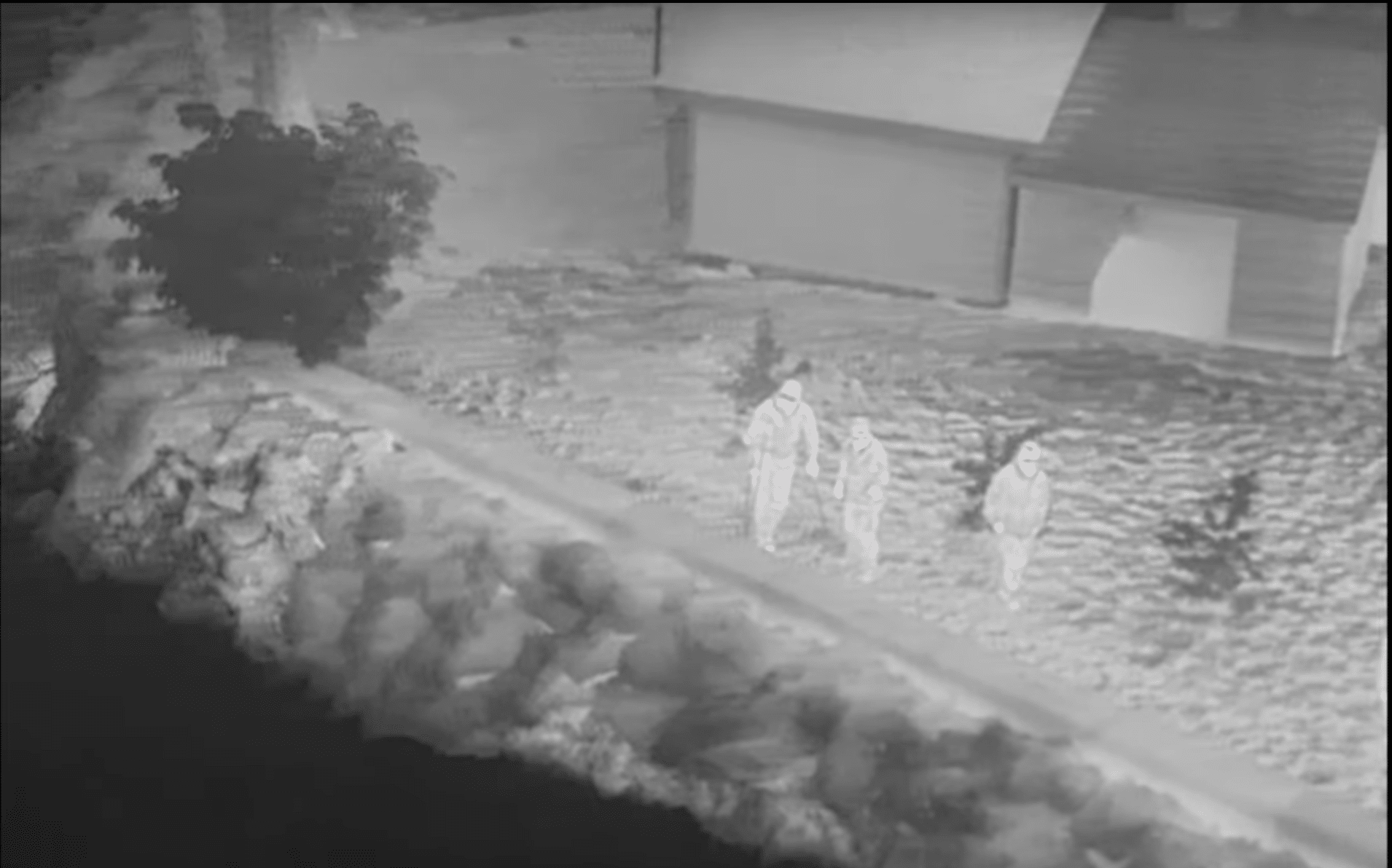
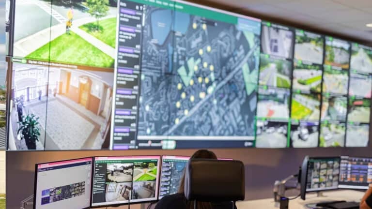
They livestreamed the entire event via Starlink and broadband directly to the emergency operations center. This allowed managers to watch the floodwaters rise and fall, monitor the integrity of the levee, and make informed decisions, all without having to put a single person in a dangerous position near the flood zone.
The Skydio X10: The Right Tool for the Job
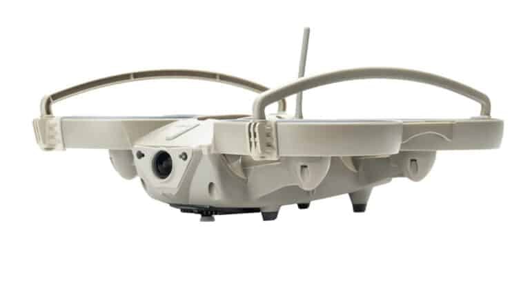
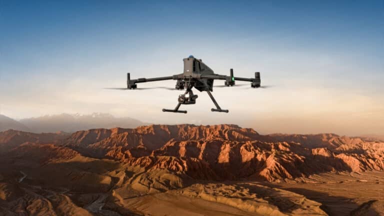
The drone at the heart of this operation, the Skydio X10, is a powerhouse of a machine, purpose-built for this kind of demanding work. It’s a professional-grade UAS known for its advanced autonomy and powerful sensor package, including a high-resolution thermal camera for night vision.
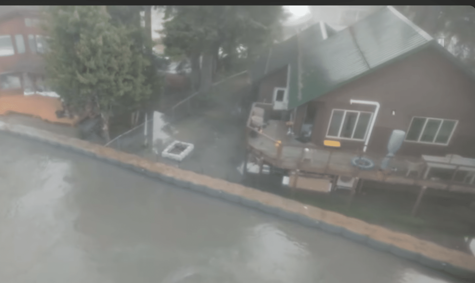
Its ability to fly Beyond Visual Line of Sight (BVLOS), combined with the reliable, high-bandwidth connection provided by Starlink, is what made this mission possible. The DOT team could operate the drone from a safe distance, providing a continuous, stable feed from the heart of the crisis. While the primary mission was to monitor infrastructure, the drone was also ready to act as a search and rescue tool, capable of spotting anyone in distress and guiding fire and rescue teams to their location if the levee were to fail.
A New Blueprint for Disaster Response
This successful mission is a blueprint for the future of disaster response. The Alaska DOT, which already uses drones extensively for things like construction monitoring and avalanche control, is now looking to expand their use for all types of geohazards.
Regional director Christopher Goins sees massive potential. Instead of waiting for a pilot to be available, drones can be deployed in minutes to assess a landslide, monitor a rising river, or survey the aftermath of an avalanche. They are faster, cheaper, and infinitely safer than sending in a ground crew or a manned helicopter into an unstable environment.
DroneXL’s Take
It takes a special kind of pilot to fly in a disaster zone. The conditions are stressful, the stakes are incredibly high, and the mission is absolutely critical. My hat is off to the Alaska DOT UAS team. This was a masterclass in professional, high-stakes flying.
“Real talk,” what they accomplished is a huge technical and logistical feat. Maintaining a continuous, 12-hour livestream from a drone flying in a flood zone is incredibly difficult. It requires robust technology like the Skydio X10 and a reliable link like Starlink, but most of all, it requires calm, skilled pilots who can operate flawlessly under pressure.
This is the kind of story that truly defines the value of our industry. It’s not a theoretical benefit; it’s a direct, tangible impact. The information provided by these drones helped keep a city safe. It’s a powerful counter-narrative to all the negative headlines, proving that drones, in the hands of dedicated professionals, are an unparalleled force for good.
This mission in Juneau is a powerful glimpse into the future, where every emergency response team will have a drone as a standard piece of equipment, providing the critical eye in the sky that helps save lives. It’s a future we should all be excited about.
Photographs courtesy of KTOO and Alaska DOT
Discover more from DroneXL.co
Subscribe to get the latest posts sent to your email.
Check out our Classic Line of T-Shirts, Polos, Hoodies and more in our new store today!

MAKE YOUR VOICE HEARD
Proposed legislation threatens your ability to use drones for fun, work, and safety. The Drone Advocacy Alliance is fighting to ensure your voice is heard in these critical policy discussions.Join us and tell your elected officials to protect your right to fly.
Get your Part 107 Certificate
Pass the Part 107 test and take to the skies with the Pilot Institute. We have helped thousands of people become airplane and commercial drone pilots. Our courses are designed by industry experts to help you pass FAA tests and achieve your dreams.

Copyright © DroneXL.co 2025. All rights reserved. The content, images, and intellectual property on this website are protected by copyright law. Reproduction or distribution of any material without prior written permission from DroneXL.co is strictly prohibited. For permissions and inquiries, please contact us first. DroneXL.co is a proud partner of the Drone Advocacy Alliance. Be sure to check out DroneXL's sister site, EVXL.co, for all the latest news on electric vehicles.
FTC: DroneXL.co is an Amazon Associate and uses affiliate links that can generate income from qualifying purchases. We do not sell, share, rent out, or spam your email.


