DJI Enterprise Teases Possible Zenmuse L3 LiDAR Payload For November 4 Launch
Check out the Best Deals on Amazon for DJI Drones today!
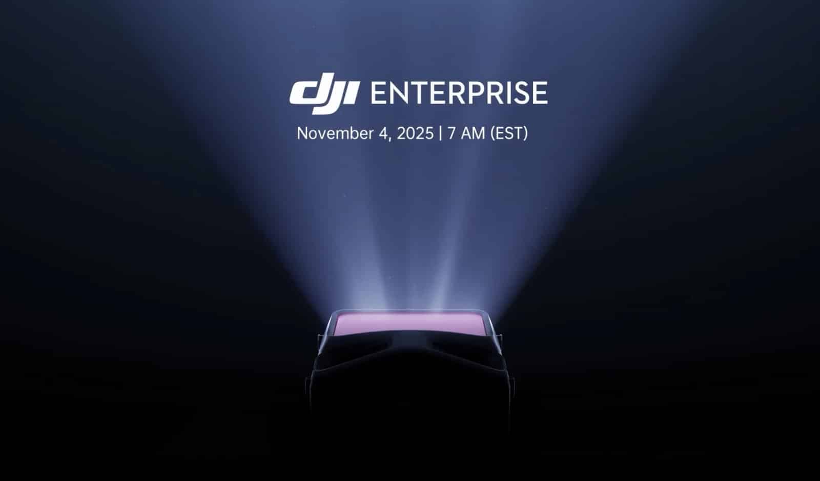
DJI Enterprise has released a teaser pointing to a November 4, 2025 launch event at 7 AM EST, with leaked photos suggesting the reveal could be a new LiDAR mapping payload—possibly the rumored Zenmuse L3. The cryptic tagline “See Through, Far and True” accompanied by a distinctive pink/purple display screen visible in both the teaser video and leaked hardware images strongly hints at surveying and mapping capabilities.

For surveying professionals and enterprise drone operators, this represents a potential major upgrade to DJI’s already-dominant position in affordable aerial LiDAR. If the leaked photos are accurate, we could see significant improvements in detection range, penetration ability, and accuracy—all critical factors for land surveyors, forestry managers, and infrastructure inspectors.
What We Know So Far
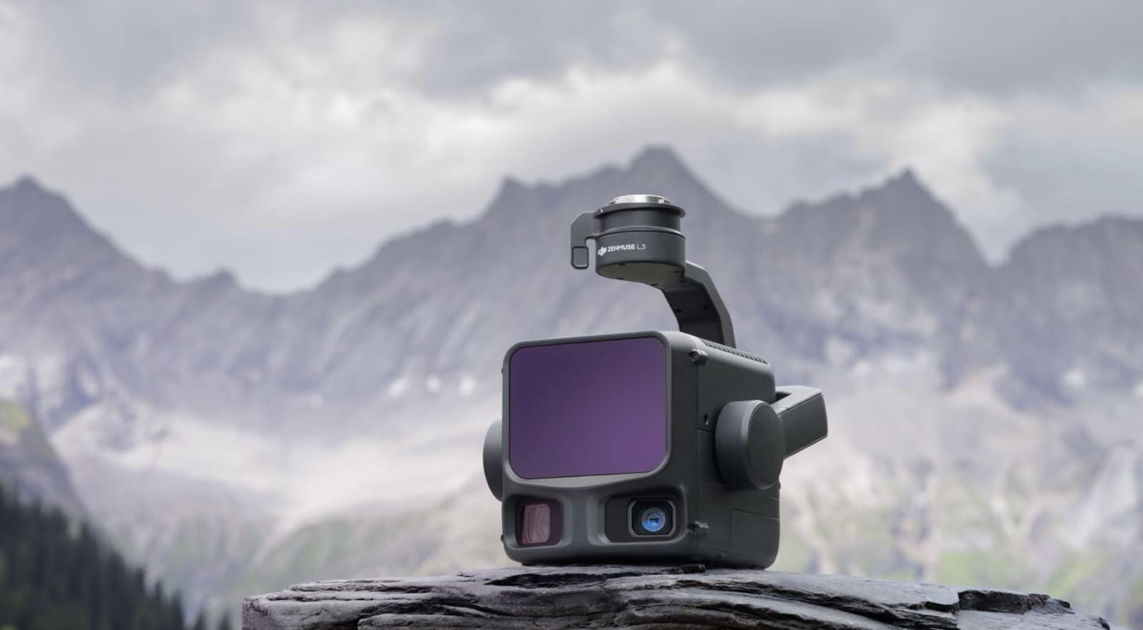
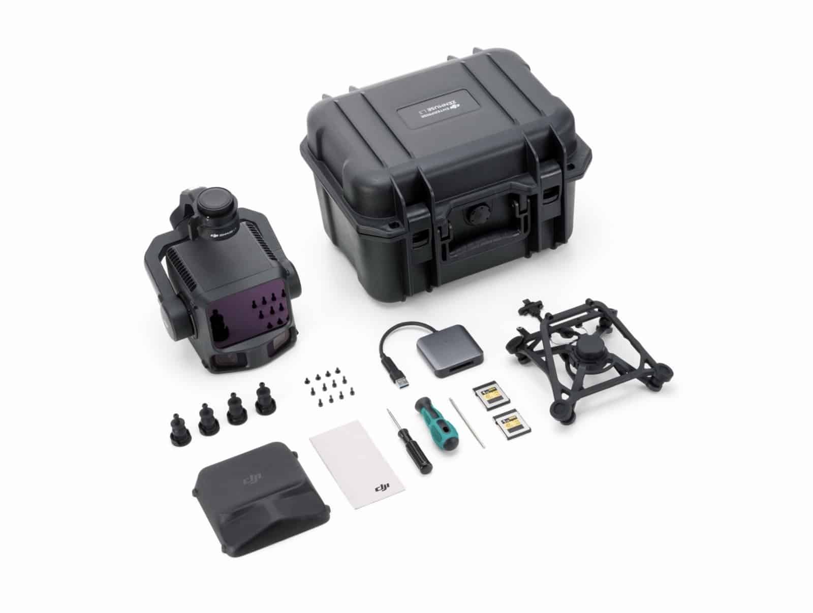
The teaser posted on X shows a silhouette of hardware with a glowing pink/purple screen emerging from darkness. X user @lurc547771 shared photos of what appears to be the actual payload, showing a LiDAR unit with the same distinctive colored display, alongside a rugged Pelican-style carrying case, multiple batteries, mounting hardware, and installation tools.
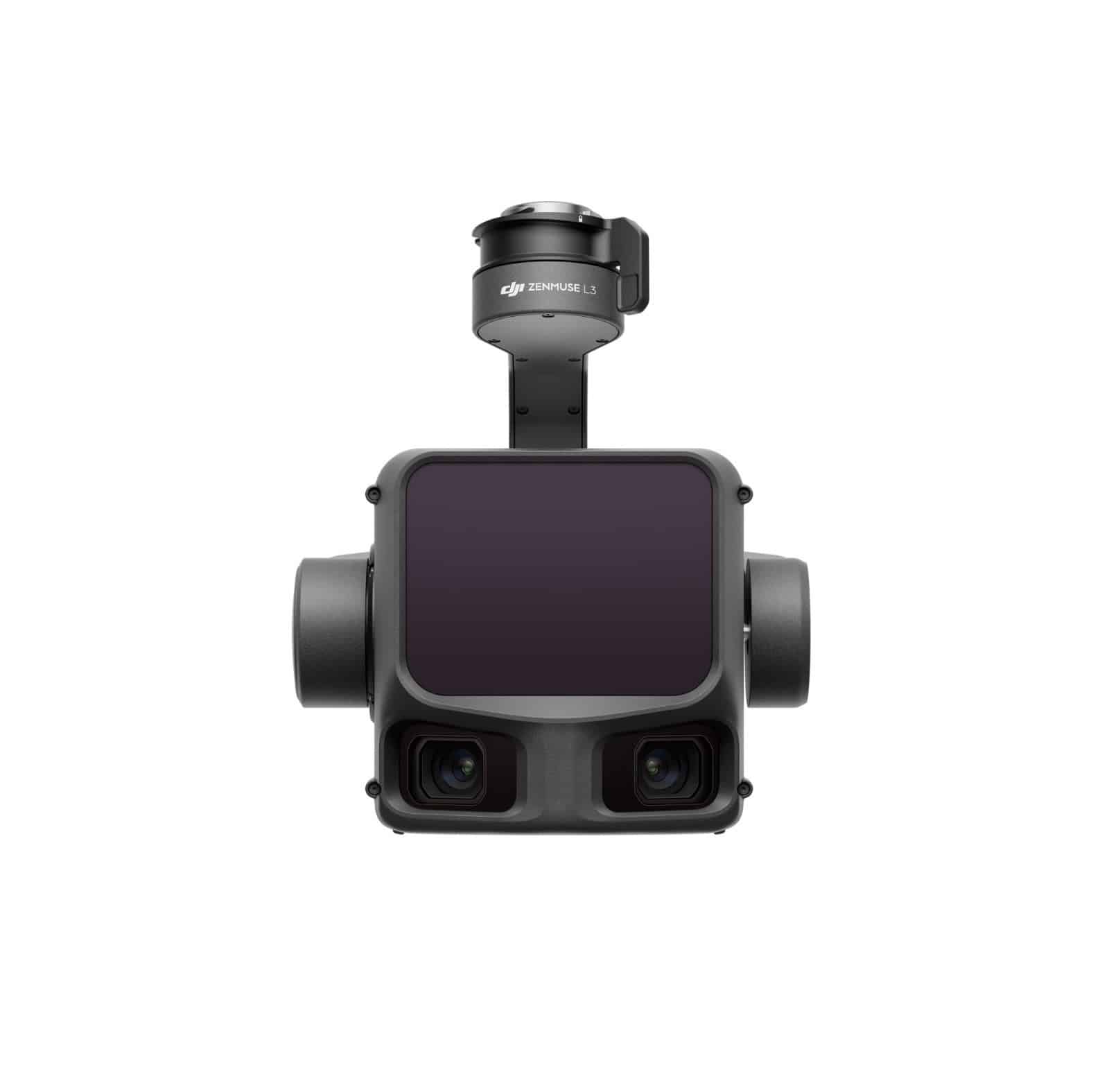
The leaked images reveal professional-grade packaging typical of DJI’s enterprise payloads. The LiDAR unit features what appears to be a sensor window and the telltale pink/purple interface screen that matches the teaser perfectly. While DJI hasn’t confirmed the product name, the visual evidence and timing suggest this could be the Zenmuse L3—the successor to the Zenmuse L2 launched in October 2023.
Reading the Tea Leaves
The tagline offers intriguing clues. “See Through” likely references improved vegetation penetration—a critical capability for forestry surveying and terrain mapping where dense canopy coverage hides ground features. “Far” suggests extended detection range beyond the L2’s 450m (1,476 feet) at 50% reflectivity. “True” implies enhanced accuracy, possibly improving on the L2’s already impressive 4cm (1.6 inches) vertical and 5cm (2 inches) horizontal accuracy at 150m (492 feet).
DJI has scheduled the reveal for 7 AM EST on November 4, with registration available through a branded short link. The timing aligns with DJI’s pattern of announcing surveying equipment in October and early November, when industry professionals are planning equipment purchases for the following year.
DroneXL’s Take
DJI’s track record with enterprise LiDAR payloads has been transformative for the surveying industry. When the company launched the original Zenmuse L1 in 2020, it brought LiDAR capabilities that previously cost $100,000+ down to around $20,000 for a complete system. The Zenmuse L2 pushed that envelope further with a spot size just one-fifth of the L1’s, dramatically improving detail and accuracy.
If the L3 delivers meaningful improvements in range, penetration, and accuracy, it could further cement DJI’s dominance in the enterprise mapping market—even as the company faces continued political pressure in the U.S. The timing is notable: DJI launched the Matrice 400 heavy-lift platform in June 2025, followed by the DJI Terra 5.0 software update with enhanced LiDAR processing in July. A new flagship LiDAR payload would complete the ecosystem upgrade.
The leaked photos show production-ready packaging, suggesting DJI is prepared for immediate availability—a departure from typical consumer product launches that often involve months of pre-orders. For surveying professionals already invested in DJI’s Matrice ecosystem, the L3 could represent a compelling upgrade if it delivers on the tagline’s promises.
We’ll know for certain on November 4. What do you think about these latest DJI Rumors? Share your thoughts in the comments below.
Discover more from DroneXL.co
Subscribe to get the latest posts sent to your email.
Check out our Classic Line of T-Shirts, Polos, Hoodies and more in our new store today!

MAKE YOUR VOICE HEARD
Proposed legislation threatens your ability to use drones for fun, work, and safety. The Drone Advocacy Alliance is fighting to ensure your voice is heard in these critical policy discussions.Join us and tell your elected officials to protect your right to fly.
Get your Part 107 Certificate
Pass the Part 107 test and take to the skies with the Pilot Institute. We have helped thousands of people become airplane and commercial drone pilots. Our courses are designed by industry experts to help you pass FAA tests and achieve your dreams.

Copyright © DroneXL.co 2025. All rights reserved. The content, images, and intellectual property on this website are protected by copyright law. Reproduction or distribution of any material without prior written permission from DroneXL.co is strictly prohibited. For permissions and inquiries, please contact us first. DroneXL.co is a proud partner of the Drone Advocacy Alliance. Be sure to check out DroneXL's sister site, EVXL.co, for all the latest news on electric vehicles.
FTC: DroneXL.co is an Amazon Associate and uses affiliate links that can generate income from qualifying purchases. We do not sell, share, rent out, or spam your email.


