
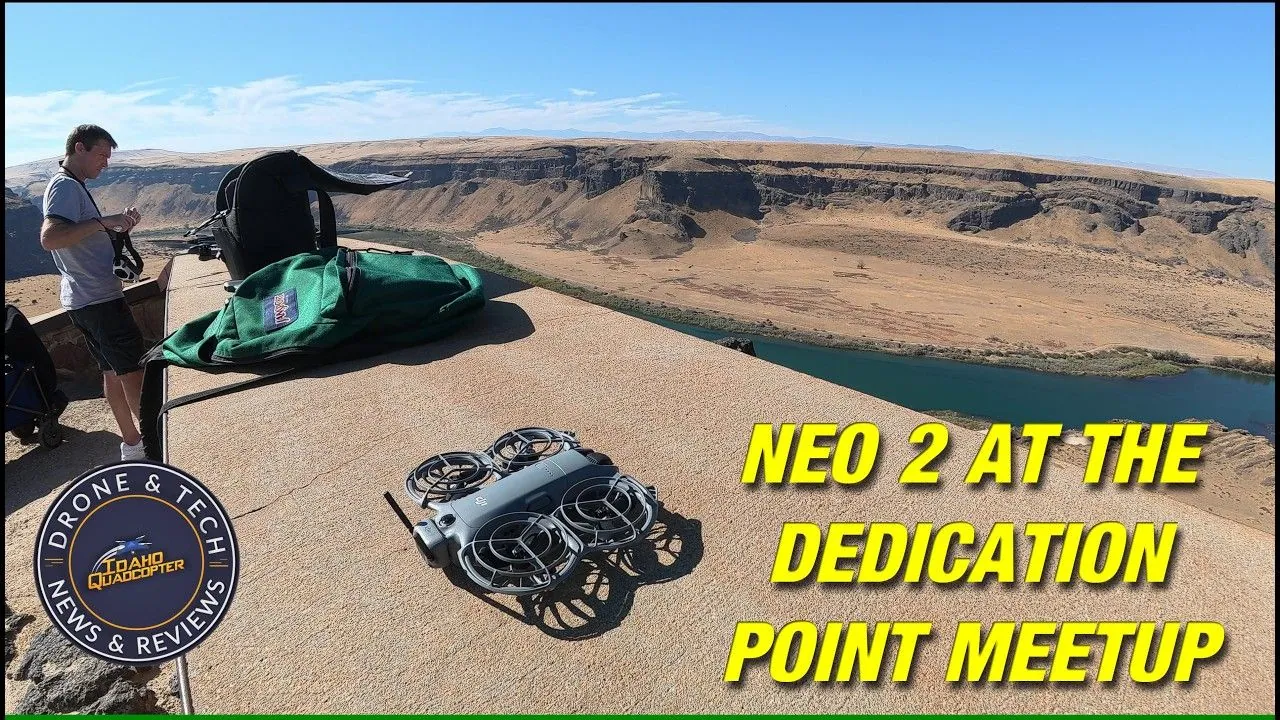
Marcus, who runs the Idaho Quadcopter YouTube channel, flew a 151-gram DJI Neo 2 off the rim of the Snake River Canyon at Dedication Point, about 16 miles south of Kuna, Idaho, and took it down to the rapids. The drone’s altitude readout showed 150 meters (492 feet) below its takeoff point. He filmed the flight at the 2026 Dedication Point drone meetup and posted it on October 19. DroneXL covered his take on drone tariffs and the FCC in August.
His earlier flight at the meetup ran fully autonomous, and this time he flew the Neo 2 on a DJI RC 2 controller. Over the rapids the battery still read 71 percent, and Marcus said the drone was almost into return-to-home.
Pairing the RC 2 at the Canyon Rim Took a Phone Hotspot
The RC 2 had never been paired with this Neo 2, and the controller had to download Neo 2 resources before it would connect. It wasn’t on Wi-Fi, so Marcus ran a hotspot from his iPhone, pulled the files and let the controller update its firmware.
After that the pairing took seconds. With the transceiver installed and the drone powered on, he tapped Pair Now and held the drone’s button until it beeped. RC 2 support came with a DJI Fly update in November 2025, and Marcus said the resource download is a job for home. His safety screen showed 30 satellites and a 120-meter maximum altitude setting, and he cut the return-to-home altitude from 45 to 25 meters (148 to 82 feet).
The Neo 2 Read 492 Feet Below Takeoff When It Neared Auto-Return
The 71 percent reading came with the Neo 2 over the rapids. Its own readout put it 150 meters (492 feet) below the takeoff point, so getting home meant a long climb as well as the flight back. Marcus said the drone “doesn’t like flying this far from home.”
On the way down he pushed Sport mode to almost 12 m/s (about 27 mph), then switched back to Normal mode for obstacle avoidance before going low over the water. Heading back along the canyon wall, he watched the yellow return marker on the battery bar slide away as the drone got closer, and he credited DJI’s software with tracking how close to home it was. He had been recording for almost five minutes by then. Shawn at Air Photography got close to 13 minutes of recording before hitting 12 percent in his Neo 2 e-bike tracking test, so a 71 percent reading a few minutes in looks in line with normal use. The flight ended with a landing in Marcus’s hand.
The video doesn’t settle how deep the drop was. The Bureau of Land Management puts the Dedication Point overlook 400 feet above the Snake River, about 90 feet less than the readout, and the footage doesn’t show whether the rapids sit lower than the river below the overlook or the readout drifted.
DroneXL’s Take
Below your takeoff point, the battery percentage stops telling you how much flight you have left. Marcus had 71 percent on the screen and a drone already close to heading home. On flat ground, 71 percent on a Neo 2 is most of a flight. I’d treat a canyon dive like a hike into one, because the way out is uphill and the turnaround comes earlier than the gauge suggests. The yellow return marker on the battery bar is the number to watch down there, and Marcus watched it all the way back. If you take a Neo 2 to the bottom of a canyon, start the climb back while the battery still looks generous.
Sources: Idaho Quadcopter on YouTube, Bureau of Land Management.
DroneXL uses automated tools to support research and source retrieval. All reporting and editorial perspectives are by Haye Kesteloo. Read our editorial standards.


