NY DEC Drones Soar to Save Wildlife: Tracking Mallards and Bats with High-Tech Flair
Check out the Best Deals on Amazon for DJI Drones today!
Picture this: a drone zipping over New York’s lush Adirondack forests, quietly spying on mallard ducks without ruffling a single feather, or diving into the darkness of a cave to count bats with infrared precision. That’s the bold new world the New York State Department of Environmental Conservation (DEC) is crafting, and for DroneXL readers, it’s a thrilling blend of cutting-edge tech and heartfelt conservation.
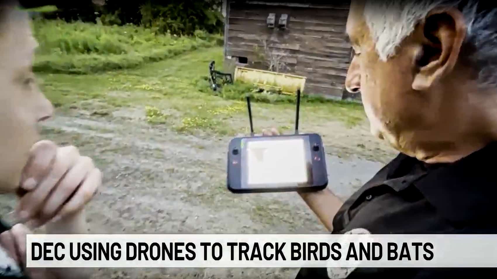
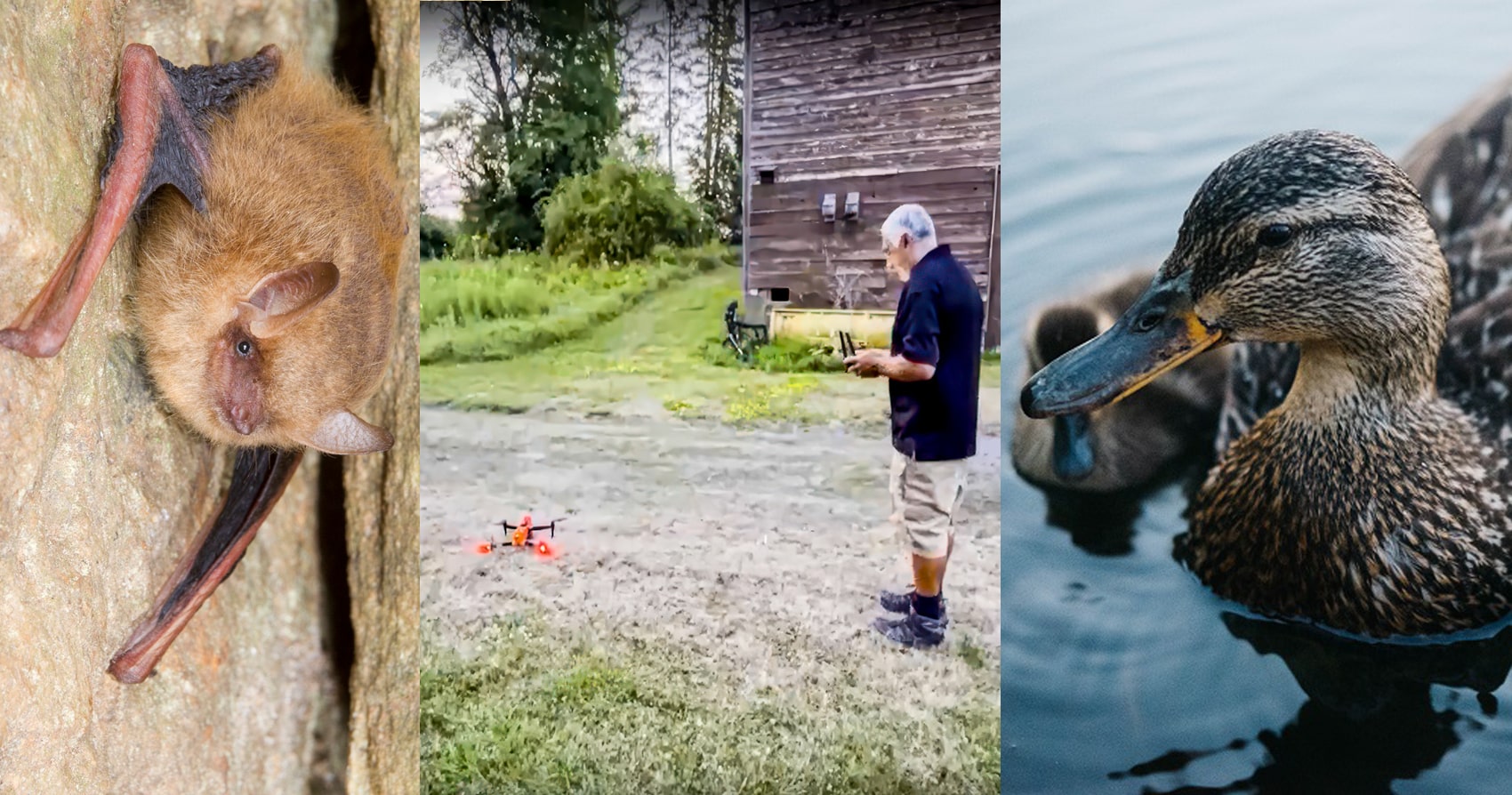
The DEC is deploying drones to monitor declining wildlife populations, focusing on mallard ducks and little brown bats, two species hit hard by environmental challenges. From the Atlantic Flyway to hidden roosts, these drones are rewriting how we protect nature, offering a non-invasive way to gather critical data. Let’s dive into how the DEC’s high-flying mission is making waves for wildlife and why it’s got us buzzing with excitement.
What’s the DEC Doing with Drones?
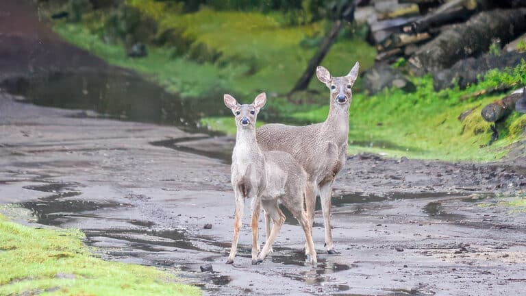
New York’s wildlife is under pressure, and the DEC is stepping up with drones to turn the tide. The state boasts the largest breeding population in the Atlantic Flyway, the East Coast’s major bird migration route, but mallard ducks have been on a 25-year decline.
Wildlife Biologist Josh Stiller is leading the charge, using drones to study what makes a hen mallard thrive. “We’re going to learn what makes a successful hen mallard,” Stiller said, aiming to pinpoint the best spots for habitat restoration.
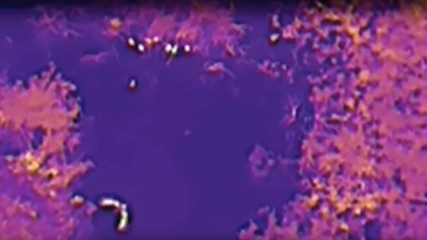
By flying over wetlands and forests, drones capture detailed footage of nesting sites and duckling movements, helping biologists understand why populations are dropping and how to fix it.
Meanwhile, little brown bats, once abundant across New York, were decimated by a fungal disease called white-nose syndrome, which wiped out 90% of their population about two decades ago. Biologist Ashley Meyer is testing drones equipped with infrared cameras to count bats as they emerge from roosts in caves or abandoned mines—places too risky or cramped for human researchers. “We’re hoping to see if using that imagery can help us count bats,” Meyer noted. Unlike ground surveys that can spook wildlife or disrupt delicate habitats, drones glide above, zooming in with precision to spot tiny ducklings or bats without causing a stir. Drone pilot Gary McPherson sums it up: “You can actually see in places you would never dream of being able to see from the ground.”


The DEC’s approach is all about minimizing human impact. Traditional wildlife monitoring often involves trudging through marshes or setting up intrusive equipment, which can stress animals and alter their behavior. Drones, hovering quietly at a distance, offer a game-changing alternative. They’re fitted with high-resolution and infrared cameras, allowing the DEC to collect data on animal behavior, population sizes, and habitat conditions without leaving a footprint. For mallards, this means tracking nesting success and identifying threats like habitat loss or predation. For bats, it’s about counting survivors to gauge recovery and protect roosts. The result? Richer data, less disturbance, and a better shot at saving species.
How It Compares to Other Drone Missions
This isn’t the missile-slinging TRV-150 we recently covered, blasting targets in Utah, or the HoverAir Aqua chasing snorkelers for epic water shots. It’s not even the Navy’s Skydweller, soaring for 73 hours on solar power to patrol oceans, or the Mer Bleue Bog drones sniffing out WWII bombs. The DEC’s drones are closer in spirit to Skyports’ medical delivery drones in Belgium, using tech for a greater good. While Skyports zips life-saving meds to hospitals, the DEC’s drones deliver critical wildlife data, complementing tools like GPS tracking for mallards and offering a safer way to study bats in hazardous caves. It’s a quieter, less flashy mission, but one that’s just as vital, putting ecosystems front and center.
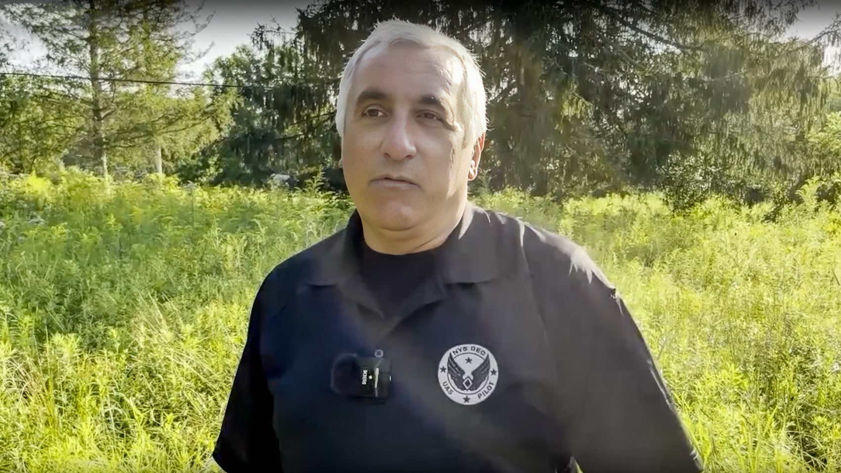
What sets the DEC’s work apart is its focus on conservation over combat or commerce. The DEC’s drones, by contrast, are all about saving species, blending high-tech with high stakes. They’re not just collecting pretty pictures; they’re building a roadmap to restore mallard habitats and protect bat populations, addressing decades-long declines with data-driven precision. It’s a niche but powerful use of drone tech, showing how these flying machines can tackle environmental challenges in ways ground-based methods can’t.
The Challenges and Limits
Drones aren’t a cure-all, and the DEC’s program has its hurdles. For one, the infrared imagery used to count bats or spot ducklings needs rigorous testing to ensure accuracy. A blurry bat or a missed duckling could skew population estimates, and analyzing footage is a time-consuming task that requires skilled biologists. Mallard declines are tied to complex issues—habitat loss, predation, climate shifts—that drones alone can’t solve. They’re a tool, not a silver bullet, providing data that must be paired with on-the-ground conservation efforts like wetland restoration or predator control.
Cost is another factor. High-end drones with infrared cameras and long flight times don’t come cheap, and the DEC’s budget isn’t bottomless. Flying in New York’s diverse landscapes—think dense Adirondack forests or foggy wetlands—poses risks. A crash in a cave or a tangle in tree branches could ground a pricey drone, though McPherson says the DEC’s pilots are skilled at navigating tricky terrain.
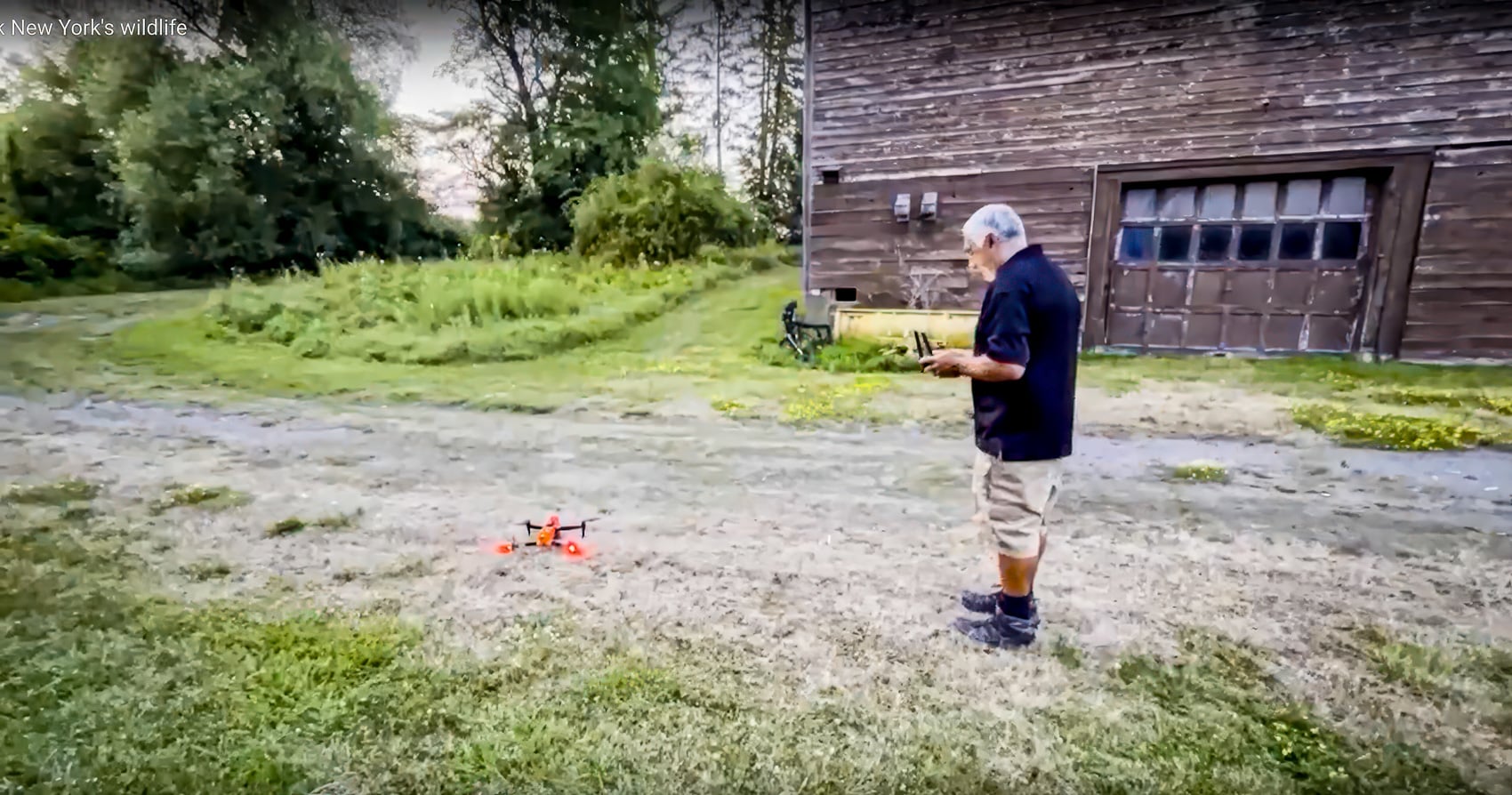
Weather’s a wildcard too; heavy rain or high winds can ground drones, limiting when and where they can fly. Scaling up the program to cover more species or regions will take time, funding, and proof that the tech delivers reliable results.
Then there’s the data challenge. Drones generate mountains of footage, and sifting through it to identify bats or ducklings requires both expertise and patience. The DEC’s early tests are promising, but they’re just that—tests. Proving that infrared can consistently count bats or that aerial surveys can map mallard habitats accurately is critical before the program expands. Still, the potential is huge: if the DEC nails this, it could set a standard for wildlife monitoring nationwide, from tracking moose in Maine to eagles in Alaska.
DroneXL’s Take
As a drone pilot who’s spent hours chasing the perfect flight path through tricky terrain, I’m downright thrilled by the DEC’s wildlife mission. Drones tracking ducks and bats without messing up their day? That’s pure genius. The infrared camera trick for counting bats in caves feels like a spy thriller, and helping mallards rebound in the Atlantic Flyway is a cause any nature lover can rally behind. Remember what these drones are doing: quiet, vital work—saving species one flight at a time.
I’m curious, though, how well those infrared cameras hold up in misty Adirondack dawns or cramped cave interiors—my own drones struggle in low light or tight spaces. The DEC’s got a solid start, but scaling this up will need serious funding and some crash-proof piloting. If they can prove the tech’s reliable, this could be a blueprint for conservation everywhere, turning drones into wildlife guardians. Imagine drones tracking endangered species across the globe, from caribou to condors, without disturbing a single blade of grass. It’s a reminder that drones aren’t just for war or play—they’re rewriting how we protect nature. What do you think—ready to see drones save more wildlife? Drop your thoughts in the comments and let’s keep this conversation flying!
Photographs courtesy by NY DEC and ABC 10 News
Discover more from DroneXL.co
Subscribe to get the latest posts sent to your email.
Check out our Classic Line of T-Shirts, Polos, Hoodies and more in our new store today!

MAKE YOUR VOICE HEARD
Proposed legislation threatens your ability to use drones for fun, work, and safety. The Drone Advocacy Alliance is fighting to ensure your voice is heard in these critical policy discussions.Join us and tell your elected officials to protect your right to fly.
Get your Part 107 Certificate
Pass the Part 107 test and take to the skies with the Pilot Institute. We have helped thousands of people become airplane and commercial drone pilots. Our courses are designed by industry experts to help you pass FAA tests and achieve your dreams.

Copyright © DroneXL.co 2026. All rights reserved. The content, images, and intellectual property on this website are protected by copyright law. Reproduction or distribution of any material without prior written permission from DroneXL.co is strictly prohibited. For permissions and inquiries, please contact us first. DroneXL.co is a proud partner of the Drone Advocacy Alliance. Be sure to check out DroneXL's sister site, EVXL.co, for all the latest news on electric vehicles.
FTC: DroneXL.co is an Amazon Associate and uses affiliate links that can generate income from qualifying purchases. We do not sell, share, rent out, or spam your email.


