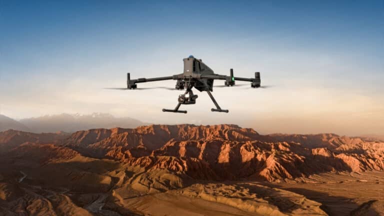
DJI MATRICE 400 – REDEFINING What’s Possible with Enterprise Drones!
Check out the Best Deals on Amazon for DJI Drones today!
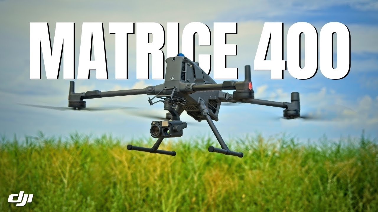
Today, it’s all about this huge drone right here, the DJI Matrice 400—a revolutionary enterprise solution from DJI. A special thank you to Copter Bulgaria for providing this demo unit so it could be tested and fully reviewed.
Endurance and performance of the DJI M400
At first glance, the headline feature of the Matrice 400 is endurance. It delivers up to 59 minutes of flight time, even while carrying payloads, making it ideal for long missions like search and rescue or wide-area mapping where swapping batteries every half hour just isn’t practical. It’s not only about staying in the air longer; it’s also built for speed and agility, flying up to 25 m/s, climbing at 10 m/s, and descending at 8 m/s, so it can cover large areas quickly whether flying manually or through automated routes. The drone holds steady against winds up to 12 m/s and can operate at altitudes as high as 7,000 m above sea level. DJI’s O4 Enterprise enhanced video transmission enables live feeds from as far as 40 km away, maintaining a solid connection in dense urban areas, remote mountains, or offshore locations.
Portability and setup
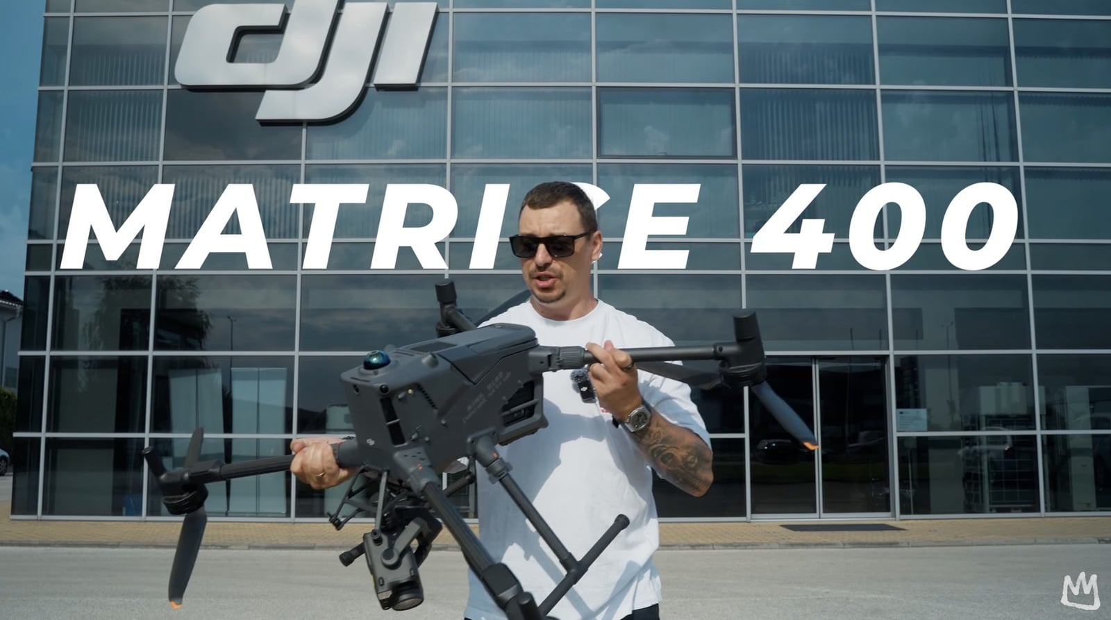
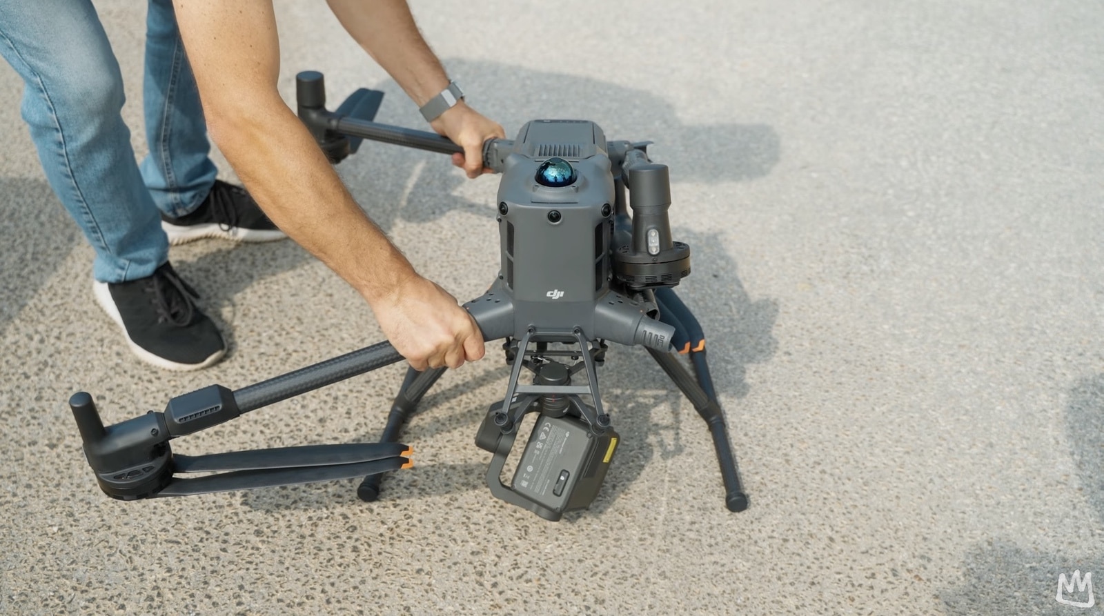
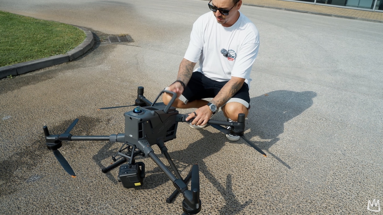
Even though the drone is large—which it certainly is—transportation is not an issue. With a simple twist, the arms unlock and fold next to the body, making it easier to carry despite weighing around 10 kg with the battery installed. The included carrying case has wheels and works like a traditional suitcase. When unfolding the arms for flight, orange markers on the twist mechanisms align with the arms to ensure they’re properly fastened and securely installed.
Payload flexibility
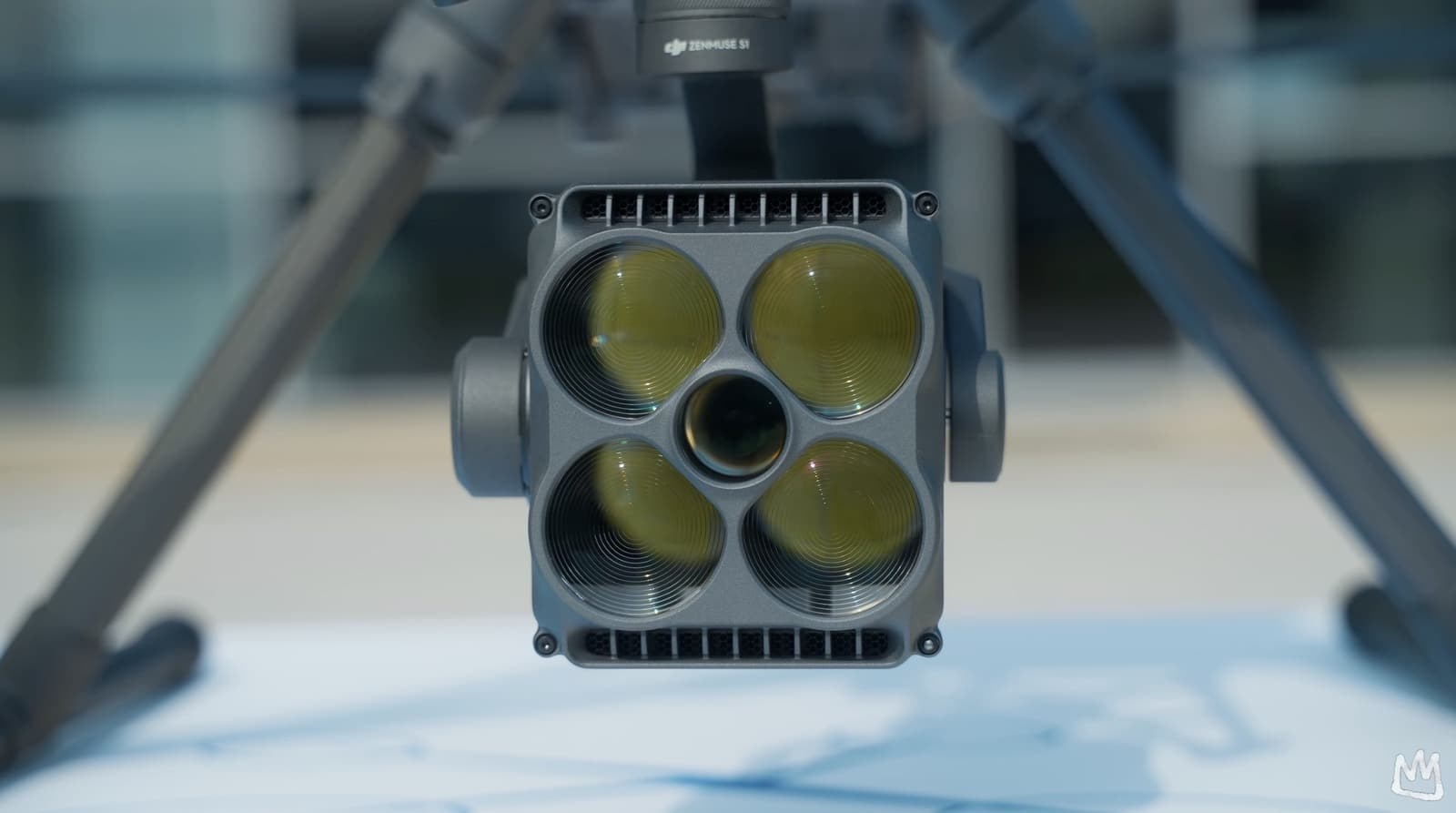
One of the biggest reasons professionals choose the Matrice series is payload flexibility, and the M400 pushes this further. It supports a maximum payload of 6 kg and can be configured with a single downward gimbal, dual downward gimbals, and even a third gimbal connector for extra flexibility. With four external ports available, the drone can carry up to seven different payloads simultaneously. Compatible tools include the Zenmuse H30 series for thermal and zoom imaging, the L2 LiDAR for detailed 3D data collection, the P1 photogrammetry camera for mapping, and mission-specific tools like the S1 spotlight and V1 speaker. There’s also support for DJI’s Manifold 3 onboard computer for powerful AI computing, and open data interfaces now allow integration of third-party payloads as well. This high level of compatibility means the M400 isn’t locked into a single industry—it adapts to public safety, energy inspection, surveying, and many other specialized fields without compromise.
Safety and reliability
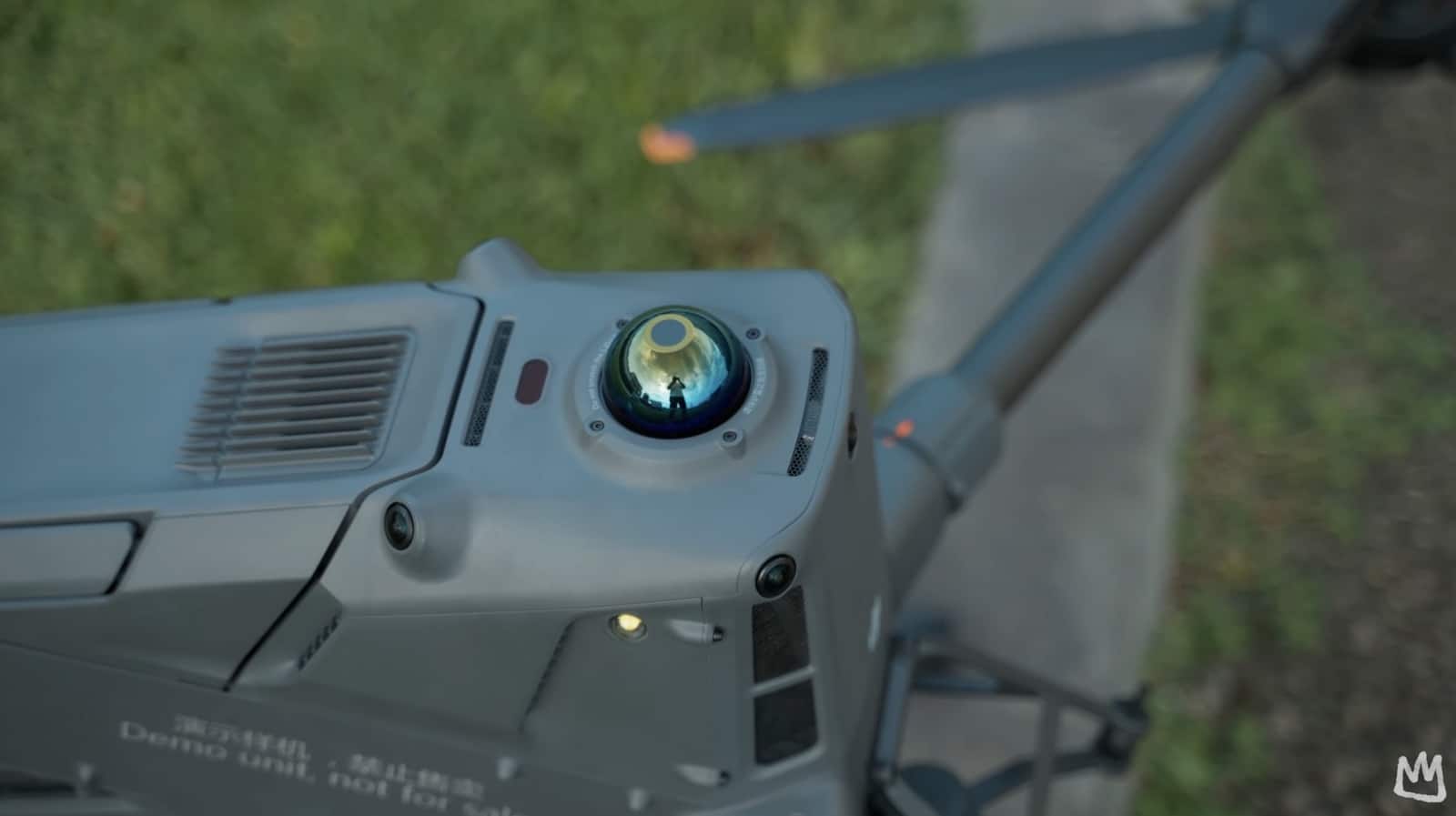
Professional drones are often flown in complex, high-risk environments, so safety is non-negotiable. The Matrice 400 has an IP55 rating, meaning it’s water-resistant and ready to operate in rain, dust, and extreme temperatures ranging from −20 to +50 °C. Its obstacle sensing system is among the most advanced, using rotating LiDAR, mmWave radar, and full-color fisheye vision sensors to detect obstacles that other drones might miss, including thin power lines in low light or bad weather. The radar can see through fog and rain, significantly improving situational awareness. Communication safety is also a priority: the O4 system can be backed up with dual DJI cellular dongles, and the drone supports the Sub-G frequency band for stronger anti-interference performance. Additionally, the M400 includes an airborne relay video transmission feature, allowing one Matrice 400 to fly higher and act as a relay drone to extend the operational range for another aircraft when line of sight is blocked.
Control options and collaboration
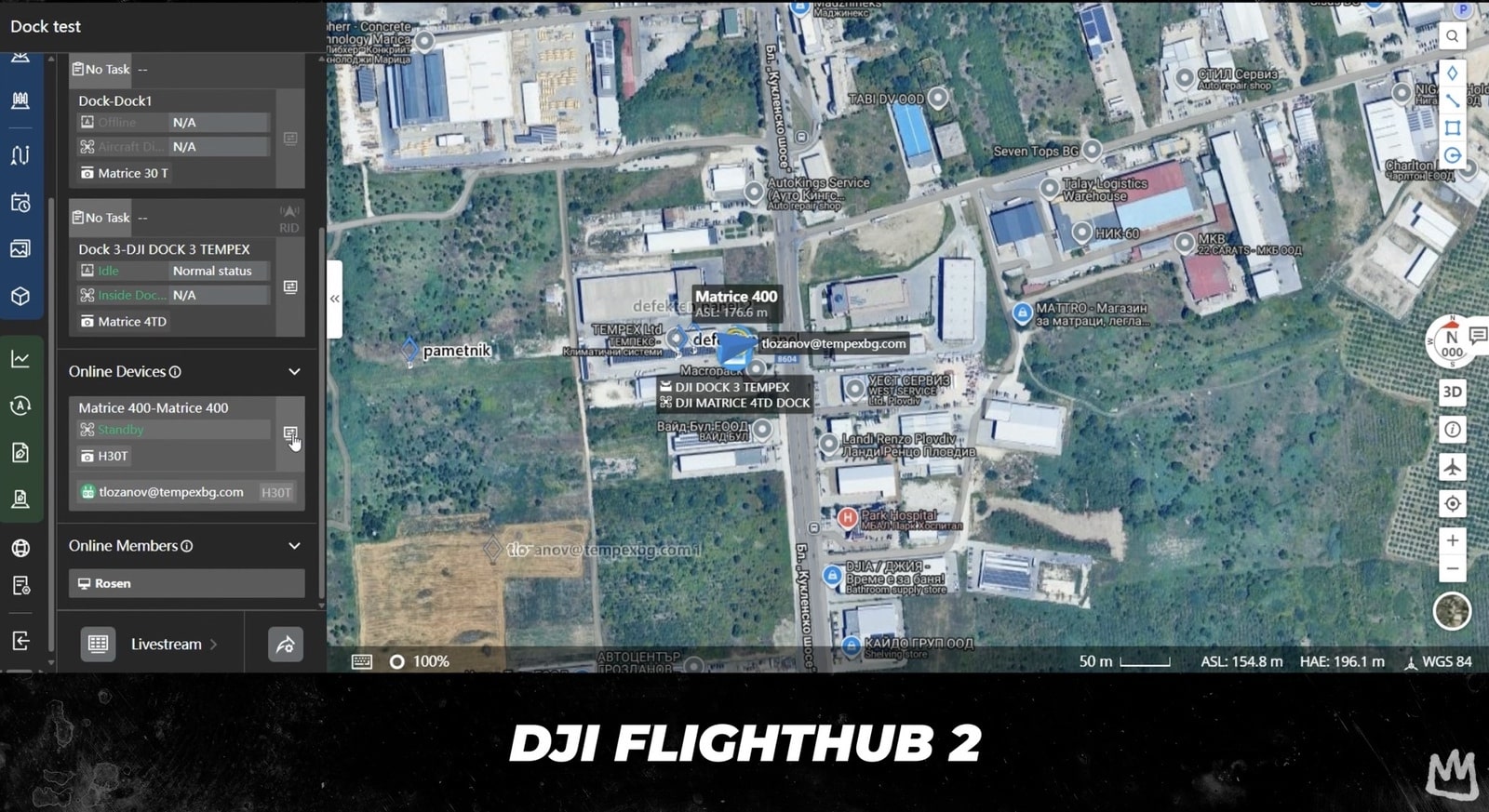
There are two control options: the DJI RC Plus Enterprise Remote Controller, now with a kickstand on the back, or DJI FlightHub 2. With FlightHub 2, full control is possible via mouse and keyboard, with access to all flight modes and intelligent features. Control can be handed off at any moment: remote operation can switch back to the on-site controller operator depending on mission needs, and then be returned to FlightHub 2 as required. This is especially useful when being physically present to assess surroundings can make a critical difference.
Battery mechanism and noise
The battery mechanism is a standout. To remove it, open the latch and lift it out; when installing, it seats into place securely and only requires closing the latch until it clicks. There’s effectively no way to install it incorrectly, ensuring a safe, secure fit every time. The noise is also impressive—it’s an absolute beast on takeoff.
Intelligent features of the DJI Matrice 400
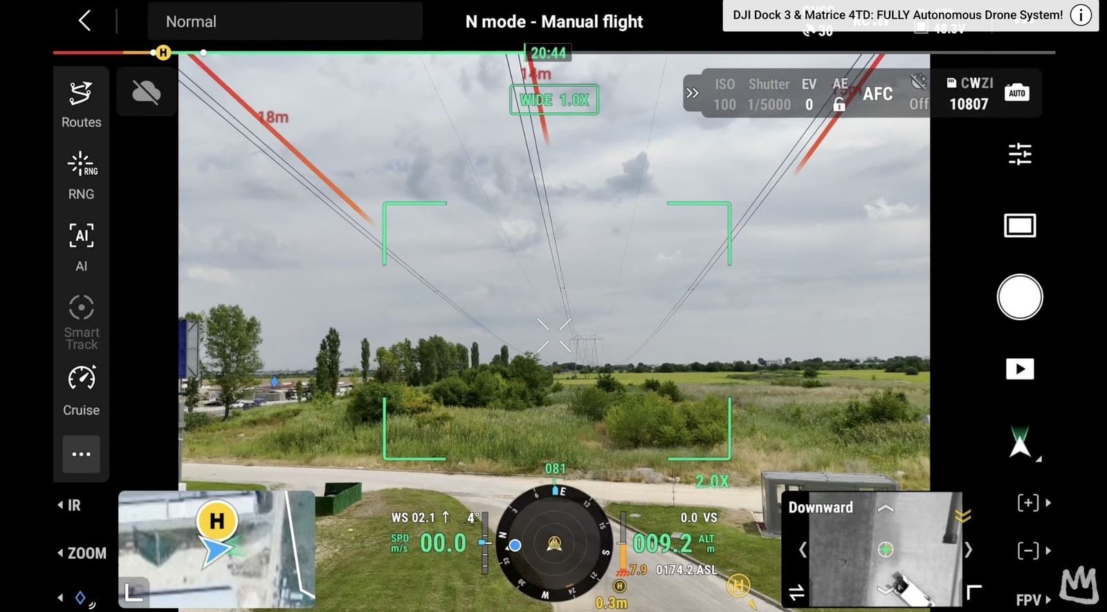
Where the Matrice 400 truly stands out is intelligence. It can automatically detect vehicles, vessels, and people using visual and thermal imaging—crucial in search and rescue scenarios. Augmented reality projection overlays maps, power lines, and return pads directly onto the live feed, simplifying navigation. Flight modes go beyond the basics like Cruise, Flight 2, Smart Track, and Point of Interest: it can follow terrain in real time to maintain a consistent altitude over uneven ground and can take off and land from ships, stabilizing on moving platforms.
High-Res grid photo mode
Another standout is the high-res grid photo mode, a smarter way to capture detail without constant manual zooming and snapping. After selecting a subject or area, the drone locks on, switches to the zoom camera, and systematically pans and tilts to capture overlapping shots in a grid. Each image uses optical zoom for maximum clarity, while the wide camera captures a reference image of the entire scene. The result is a large overview photo with context plus ultra-sharp close-ups that reveal smaller details like cracks in concrete, tiny markings, or serial numbers.
Power line autonomy with L2
With the Zenmuse L2 LiDAR attached, the drone can follow power lines automatically, detecting crossings and bypassing them in real time. This is a major leap for the energy sector, where inspectors often work in hazardous environments, enabling safer and more efficient inspections.
Real-world applications of Enterprise Drones
In public safety, the Matrice 400 offers longer flight times, improved AI-powered detection, and reliable communication links in dense cities or mountainous terrain. It can broadcast instructions via speaker, provide live aerial video, and carry search lights or tethered lighting systems for night operations. In search and rescue, thermal imaging can locate missing people while extended flight time helps cover large areas without frequent landings, and the obstacle sensing system enables safer flight in forests or canyons.
In surveying and mapping, the M400 supports slope routes, geometric routes, oblique facade capture, and autopho missions at full flight speed, delivering faster, more accurate data collection over large or complex structures. In the energy sector, power line-follow features allow inspectors to automatically scan lines, avoid crossings, and identify potential issues with greater safety and efficiency—day or night, in rain or fog—setting a new standard for drone inspections.
To sum up, the DJI Matrice 400 is a professional tool built for industries where reliability, endurance, and safety matter most. With nearly an hour of flight time, a 6 kg payload capacity, advanced obstacle sensing, and intelligent automation, it represents the next generation of enterprise drones. Whether it’s saving lives in emergencies, inspecting critical infrastructure, or mapping with extreme precision, the M400 raises the bar for what’s possible. Don’t forget to subscribe and hit the notification bell for more deep dives into the latest drone tech. Never stop flying, and see you in the next one.
Discover more from DroneXL.co
Subscribe to get the latest posts sent to your email.
Check out our Classic Line of T-Shirts, Polos, Hoodies and more in our new store today!

MAKE YOUR VOICE HEARD
Proposed legislation threatens your ability to use drones for fun, work, and safety. The Drone Advocacy Alliance is fighting to ensure your voice is heard in these critical policy discussions.Join us and tell your elected officials to protect your right to fly.
Get your Part 107 Certificate
Pass the Part 107 test and take to the skies with the Pilot Institute. We have helped thousands of people become airplane and commercial drone pilots. Our courses are designed by industry experts to help you pass FAA tests and achieve your dreams.

Copyright © DroneXL.co 2025. All rights reserved. The content, images, and intellectual property on this website are protected by copyright law. Reproduction or distribution of any material without prior written permission from DroneXL.co is strictly prohibited. For permissions and inquiries, please contact us first. DroneXL.co is a proud partner of the Drone Advocacy Alliance. Be sure to check out DroneXL's sister site, EVXL.co, for all the latest news on electric vehicles.
FTC: DroneXL.co is an Amazon Associate and uses affiliate links that can generate income from qualifying purchases. We do not sell, share, rent out, or spam your email.


