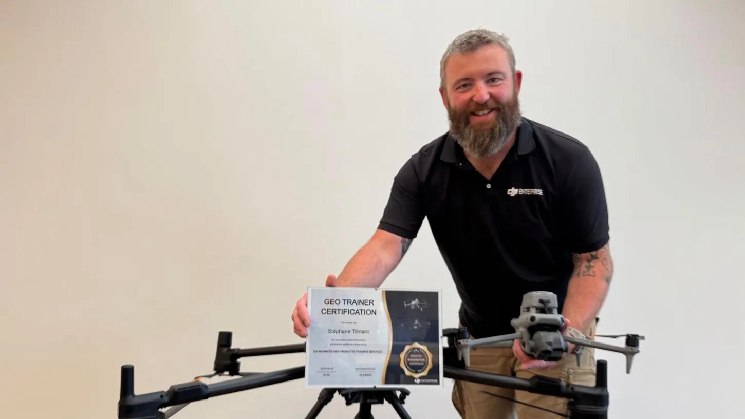
DJI Enterprise has a certified training dealer in the Benelux, and Drone Parts Center in Nivelles, Belgium, says it is the first. The dealer’s operations manager, Stéphane Tilmant, passed DJI’s GEO Trainer Certification in August, and its Matrice 4E photogrammetry and Zenmuse L3 LiDAR courses are now open to professionals across the Benelux, the dealer said in a press release on October 5.
The courses belong to DJI’s Advanced GEO Products Training Services, a program DJI introduced this year for its mapping drones and sensors. Trainees who pass get an official DJI certificate. DJI’s own page for the program says it is currently available only in Europe.
DJI Lets Only Examined Dealers Teach the Same Curriculum Across Europe
The program puts one DJI-written curriculum per product in front of every trainee in Europe, taught by qualified dealers rather than DJI staff. Drone Parts Center says qualifying takes an online screening exam, a qualification review, compliance training with an exam, and a trial lecture assessed by DJI.
DJI presented the program in a September 3 webinar led by Brad Li, its sales leader for geospatial products. The two courses available so far cover the Matrice 4E and the Zenmuse L3, with more to come. DJI’s pitch is standardization: flying a mapping drone takes hours to learn, but turning the flight into a centimeter-accurate plan, a classified point cloud or a stockpile volume is a workflow most operators have pieced together from tutorials.
Each Course Mixes Online Study With One to Two Days in the Field
Trainees start with self-study on DJI’s online portal, in English. Then come one to two days in person with Tilmant, in Nivelles or on site, in French or English, booked by one organization at a time. An assessment closes the course. The certificate brings five years of updated material.
The Matrice 4E course runs through RTK photogrammetry, Smart 3D Capture, corridor and oblique missions, D-RTK 3 base station setup, modeling in DJI Terra and editing in DJI Modify. The L3 course covers LiDAR acquisition design, RTK and PPK operations and point cloud classification on the Zenmuse L3 and its 950-meter detection range, flown on the Matrice 400 that sits on the table in the dealer’s photo. Drone Parts Center says a French version of the online portal is due in January 2027.
No surveying background is required, the course is not tied to a purchase, and it does not replace a remote pilot license. Founder Didier Van Nes said the dealer sells increasingly capable drones and sees “too many customers using only part of them because nobody taught them the method.” Courses are on request and quoted individually, with no list price published.
DroneXL’s Take
Good move, and overdue. The gap between what a Matrice 4E can do and what most buyers get out of it is real: the surveyor who mapped 29 native species across 130 hectares with one did it on free software, and he is the exception. Dealers have filled that gap with ad hoc demos for years. A DJI-written curriculum with an exam at the end is the first time the manufacturer has put its name on the teaching. DJI is building that network in Europe while the FCC has proposed ending imports and sales of already-approved drones carrying LiDAR or thermal sensors, which covers a Zenmuse L3 on a Matrice 400. DJI gives no reason for the Europe-only label, and a pilot in the region where its Enterprise dealer network is densest is the plain reading. I suspect the FCC docket is the other half of it: there is no point certifying trainers for hardware a US dealer may soon be barred from selling. European operators get the manufacturer’s know-how with the hardware. American ones are fighting to keep the hardware.
Source: Drone Parts Center press release, DJI Enterprise.
DroneXL uses automated tools to support research and source retrieval. All reporting and editorial perspectives are by Haye Kesteloo. Read our editorial standards.