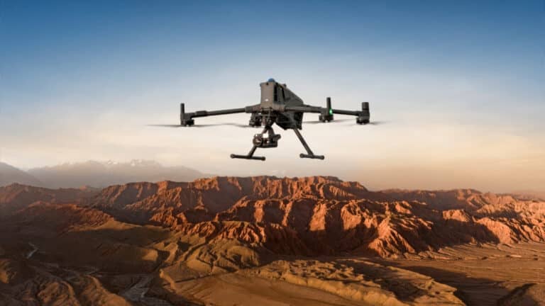
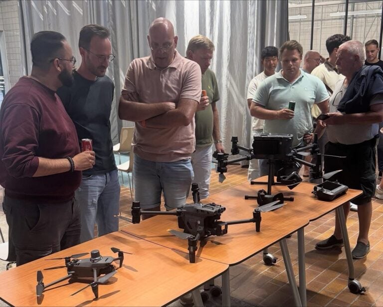
Topodrone used DJI M300 drone to perform a LIDAR survey of Swiss lake

Check out the Best Deals on Amazon for DJI Drones today!
Check out this project in which Topodrone used a DJI M300 drone to perform a LIDAR and bathymetric survey of a 109-acre lake and surrounding area in Switzerland.
The Swiss lake, Lac de Bret was mapped using a DJI Matrice 300 drone and an Aquamapper LIDAR sensor. The process consisted of five flights and took approximately three hours to complete while traveling at a speed of almost eight miles per hour.
Maxim Baklykov described the Aquamapper as an echosounder that was synchronized with a high performance GNSS-based inertial navigation system.
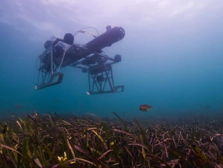
“Thanks to the specially designed streamlined shape AQUAMAPPER is able to glide in the water with up 12 km/h speed which is comparable with a large boat,” Baklykov explains. “What you need is just connect the equipment to DJI M300 and the drone drags the sensor. In payload window of DJI Pilot App you will get a real time depth profile, temperature of the water and other important information.”
Using a DJI M300 drone to pull the LIDAR sensor

An accuracy of 5 centimeters was achieved by utilizing the DJI M300 drone in conjunction with the Aquamapper, which is remarkable to say the least.
Following the completion of the LIDAR survey of the lake, the crew then proceeded to conduct a survey using LIDAR equipment of the surrounding area.
It’s possible that at this point you’re scratching your head and wondering why a pricey DJI drone was used to carry out this LIDAR survey when a regular boat could have done the job just as effectively.

To begin, the Topodrone team was primarily interested in determining whether or not a drone could be successfully utilized for the tasks at hand. And secondly, there are some lakes that might not permit the use of a survey boat in certain circumstances; in those cases, utilizing a drone as an alternative solution would be the best option.


But, what happens when the drone ends up in the water? Well, in that case Baklykov explains, the “DJI M300 is covered by DJI Care Enterprise insurance, it allows to get a new drone just for 700 USD, so no worries .”
Leave your thoughts in the comments section below about this innovative method of using a DJI M300 drone to perform a LIDAR survey of a lake in Switzerland and let us know what you think about it.


Photos courtesy of Topomapper and Maxim Baklykov.
Discover more from DroneXL.co
Subscribe to get the latest posts sent to your email.
Check out our Classic Line of T-Shirts, Polos, Hoodies and more in our new store today!

MAKE YOUR VOICE HEARD
Proposed legislation threatens your ability to use drones for fun, work, and safety. The Drone Advocacy Alliance is fighting to ensure your voice is heard in these critical policy discussions.Join us and tell your elected officials to protect your right to fly.
Get your Part 107 Certificate
Pass the Part 107 test and take to the skies with the Pilot Institute. We have helped thousands of people become airplane and commercial drone pilots. Our courses are designed by industry experts to help you pass FAA tests and achieve your dreams.

Copyright © DroneXL.co 2025. All rights reserved. The content, images, and intellectual property on this website are protected by copyright law. Reproduction or distribution of any material without prior written permission from DroneXL.co is strictly prohibited. For permissions and inquiries, please contact us first. DroneXL.co is a proud partner of the Drone Advocacy Alliance. Be sure to check out DroneXL's sister site, EVXL.co, for all the latest news on electric vehicles.
FTC: DroneXL.co is an Amazon Associate and uses affiliate links that can generate income from qualifying purchases. We do not sell, share, rent out, or spam your email.


