Authorized Drone Failure Disrupts Rescue Helicopter in Kerrville Flood Response
Check out the Best Deals on Amazon for DJI Drones today!
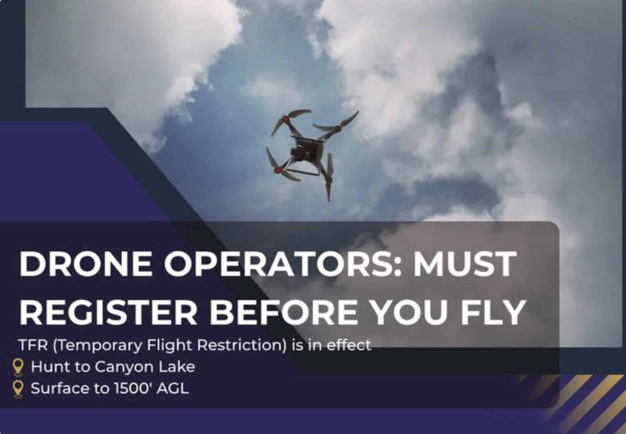
On July 7, 2025, a military helicopter conducting search and rescue operations in Kerrville, Texas, was forced to make an emergency landing after a collision with a drone, initially reported as an unauthorized civilian craft. A recent clarification revealed the drone was an authorized search and rescue unit that malfunctioned, highlighting critical challenges in drone integration during disaster response.
Incident Details and Clarification
During the catastrophic July 2025 floods that claimed over 100 lives in Kerr County, a Sikorsky UH-60 Black Hawk helicopter was struck by a drone over the flood zone, grounding a vital asset. Early reports from Kerrville officials and media outlets, including KSAT and Flying Magazine, labeled the drone as a private, unauthorized unit violating Temporary Flight Restrictions (TFRs). These restrictions, enforced by the FAA, barred non-emergency aircraft to ensure clear airspace for rescue operations.
However, testimony at the July 23 joint hearing of the special state House and Senate committees investigating the floods clarified the incident:
“DRONE HIT CLARIFICATION – At the July 23 joint hearing of the special state House and Senate committees investigating this month’s deadly floods, testimony clarified that the drone involved in the incident that forced a military helicopter to make an emergency landing July 7 in Kerr County was actually an authorized search and rescue drone. It had flown too high and stalled — contrary to earlier reports that it was an unauthorized private drone.”
The drone’s stall at an excessive altitude (likely above the 400-foot limit for most drones) caused the collision, temporarily halting helicopter operations. No injuries were reported, but the incident underscored technical risks in drone deployment.
Technical and Operational Implications
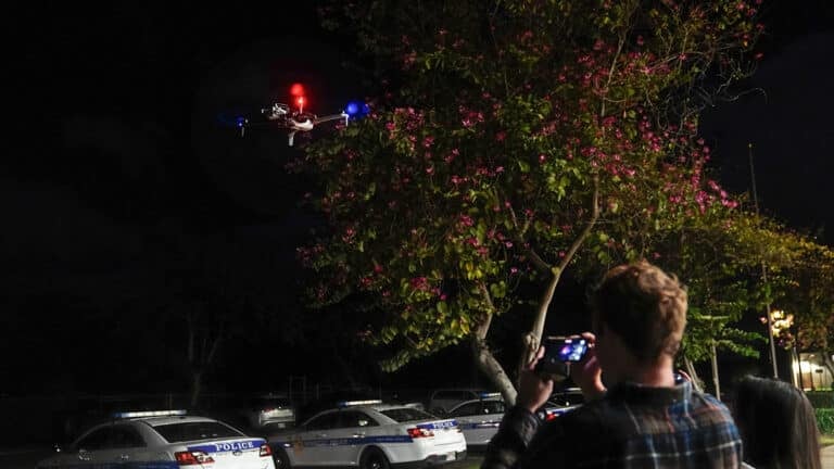
The incident reveals gaps in drone reliability during high-stakes missions. Authorized drones, such as those used by agencies like the Texas Military Department, are critical for aerial surveillance and victim location, as seen with the MQ-9 Reaper deployed in Kerrville. However, the stall suggests potential issues with altitude control systems or operator error under pressure. Drones typically rely on GPS and altimeter sensors, but environmental factors like high winds or rain—prevalent during the floods—can disrupt performance. This raises questions about the need for enhanced fail-safes, such as automatic return-to-home functions or collision avoidance systems, to prevent such incidents.
Regulatory and Safety Considerations
The initial misidentification of the drone as unauthorized reflects the broader challenge of airspace management during crises. TFRs, designed to protect emergency operations, require all aircraft (including drones) to have prior authorization and maintain two-way communication with air traffic control. The confusion over the drone’s status highlights the need for better real-time tracking and communication protocols for authorized drones.
Additionally, public misunderstanding of TFRs, as evidenced by reported civilian drone incursions and a NORAD F-16 intercept on July 11, underscores the urgency of educating recreational pilots. Stricter penalties, as suggested by a Dallas News editorial, could deter violations, with current Texas fines for drone misuse capped at $500—a sum deemed insufficient for public safety risks.
Future of Drones in Disaster Response
The Kerrville incident emphasizes both the promise and pitfalls of drones in emergency operations. Experts at Texas A&M note that AI-integrated drones could enhance victim detection by analyzing aerial footage, but current limitations, such as high error rates in identifying obscured victims, hinder reliability. Robust training datasets and improved computer vision are critical to reducing risks like the Kerrville stall. For drone professionals, this incident serves as a reminder to prioritize maintenance, adhere to altitude limits, and coordinate closely with air traffic control during TFRs. As Kerrville continues its recovery, refining drone technology and protocols will be essential to ensure these tools aid, rather than hinder, life-saving efforts.
Discover more from DroneXL.co
Subscribe to get the latest posts sent to your email.
Check out our Classic Line of T-Shirts, Polos, Hoodies and more in our new store today!

MAKE YOUR VOICE HEARD
Proposed legislation threatens your ability to use drones for fun, work, and safety. The Drone Advocacy Alliance is fighting to ensure your voice is heard in these critical policy discussions.Join us and tell your elected officials to protect your right to fly.
Get your Part 107 Certificate
Pass the Part 107 test and take to the skies with the Pilot Institute. We have helped thousands of people become airplane and commercial drone pilots. Our courses are designed by industry experts to help you pass FAA tests and achieve your dreams.

Copyright © DroneXL.co 2026. All rights reserved. The content, images, and intellectual property on this website are protected by copyright law. Reproduction or distribution of any material without prior written permission from DroneXL.co is strictly prohibited. For permissions and inquiries, please contact us first. DroneXL.co is a proud partner of the Drone Advocacy Alliance. Be sure to check out DroneXL's sister site, EVXL.co, for all the latest news on electric vehicles.
FTC: DroneXL.co is an Amazon Associate and uses affiliate links that can generate income from qualifying purchases. We do not sell, share, rent out, or spam your email.









If they used a DJI drone instead of a shitty American drone this wouldn’t have happened.