Lifesaving AI Drone Tech: CLARKE Maps Disaster Damage in Minutes Amid Hurricane Chaos
Check out the Best Deals on Amazon for DJI Drones today!
Ever wondered how drone pilots could turn chaos into clarity during disasters? CLARKE’s AI does just that, crunching footage from ravaged neighborhoods faster than you can say “evacuation route”—and it’s saving lives right now.
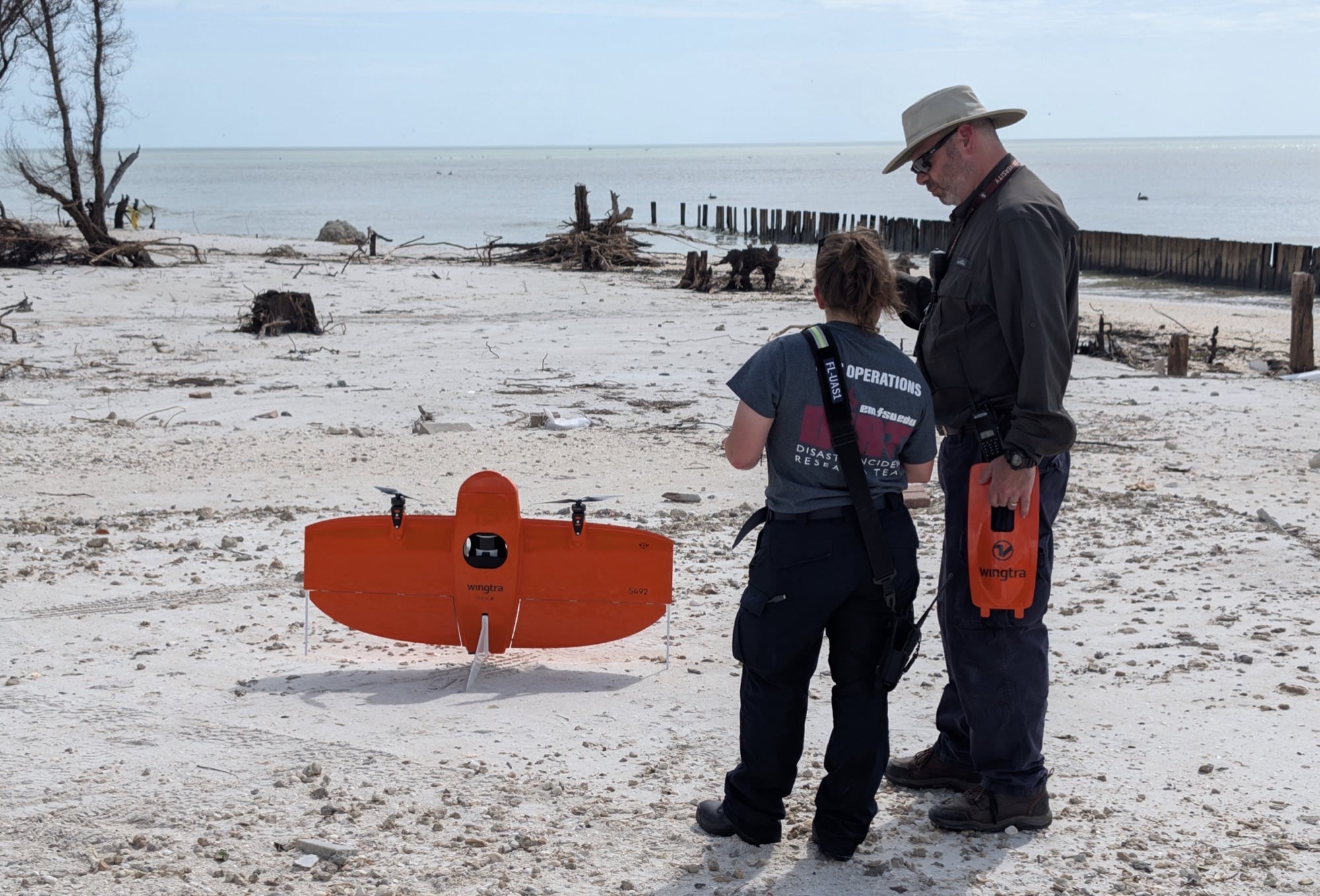
Emergency responders now have a powerful tool that turns drone footage into detailed damage maps in minutes, enabling faster aid delivery after disasters like hurricanes and floods. Researchers at Texas A&M University developed CLARKE, which leverages artificial intelligence to classify damage to buildings and roads at unprecedented speed.
Technology Behind CLARKE’s Damage Evaluation
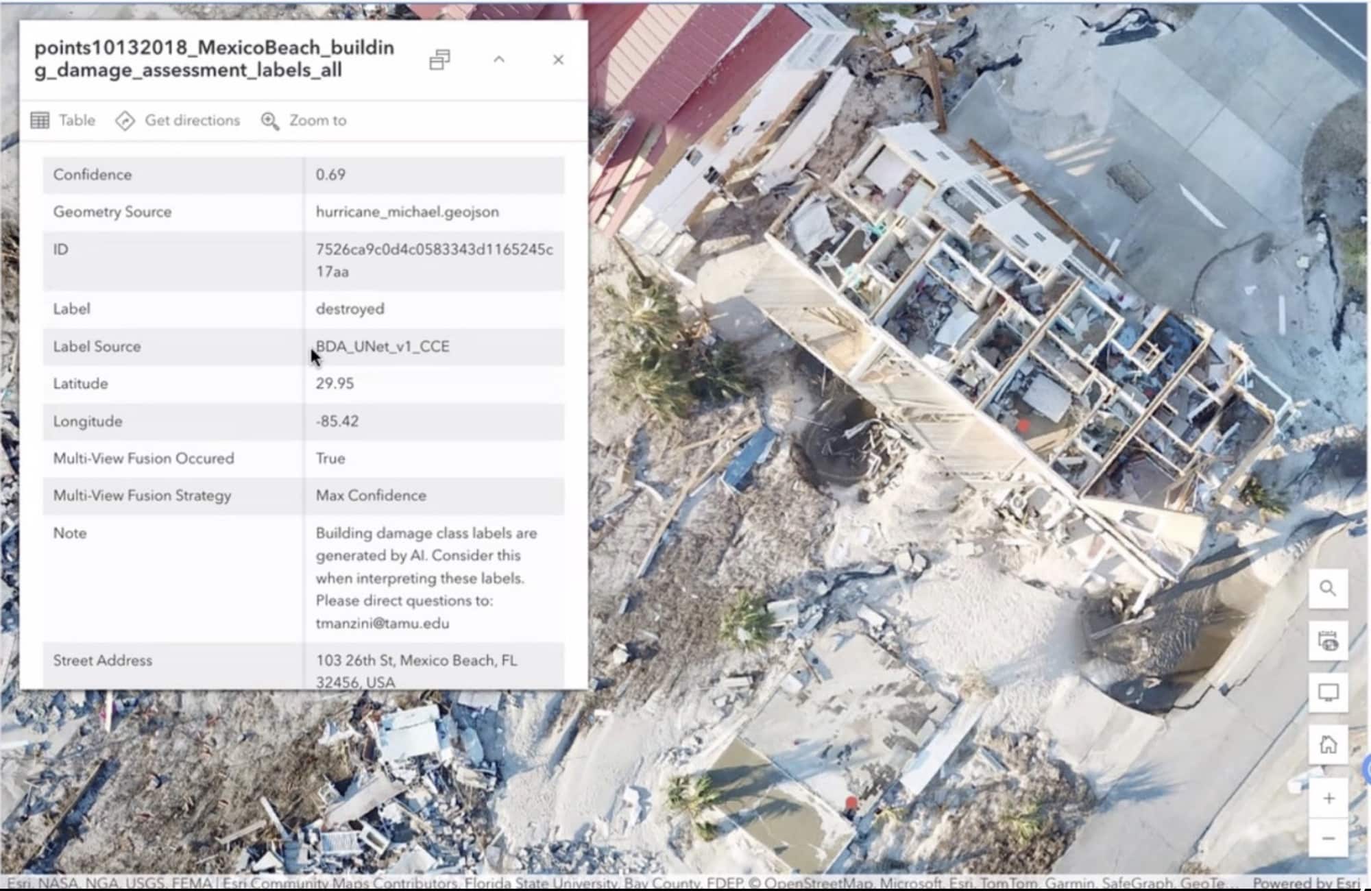
Developers built CLARKE using computer vision and machine-learning algorithms that process drone imagery to identify damage levels. The system overlays assessments on maps and produces spreadsheets with addresses and damage details for structures. It also features a route planner similar to Google Maps, guiding responders around blocked roads.
The team trained CLARKE on drone images from over 21,000 houses affected by 10 major disasters, including Hurricanes Harvey and Ian. This training equips the tool to recognize varied damage patterns across events like hurricanes, floods, and wildfires. Building on that, CLARKE handles large-scale evaluations efficiently.
“This is the first AI system that can classify building and road damage from drone imagery at this scale and speed,” Murphy reportedly said. “We’re talking about assessing a neighborhood of 2,000 homes in just seven minutes. That kind of speed can save lives and resources.”
Tom Manzini, a Ph.D. candidate in computer science and engineering, and Dr. Robin Murphy, a senior professor in the same department, led the creation of CLARKE. Murphy, known for her work in rescue robotics, emphasized the practical edge.
“CLARKE doesn’t just tell you what’s damaged, it tells you how to get around that damage. That’s critical when every second counts,” she said.
This development raises questions about how AI can bridge gaps in traditional methods, where assessments often drag on for days, especially in remote areas lacking connectivity.
Operational Advantages in Disaster Response
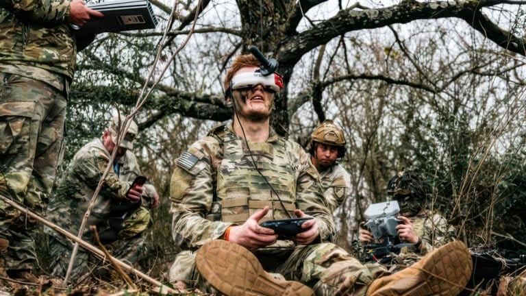
CLARKE addresses key challenges in emergency operations by providing quick, on-site analysis without relying on external networks. Responders can deploy drones and obtain reports immediately, cutting down delays in aid distribution and logistics.
“Rural counties often have lost wireless connectivity so they can’t send imagery to state and federal agencies for manual inspection,” Murphy said. “CLARKE empowers them to take immediate action.”
During the 2024 hurricane season, teams used CLARKE in Florida and Pennsylvania after Hurricanes Debby and Helene, demonstrating its reliability in real scenarios. David Merrick, program director of the Emergency Management and Homeland Security Program at Florida State University, highlighted its impact.
“This is a game changer for rural counties — they can fly drones and then immediately understand the extent of damage in their area rather than wait days for the information from other sources,” Merrick said. “It will help make damage assessment more efficient and effective.”
Interest in the tool surged at a recent training session in Tallahassee, Florida, where over 60 responders from 38 agencies and eight private companies attended a two-hour event hosted by Florida State University. Organizers anticipated 15 to 20 participants but saw nearly 100 registrations, signaling a trend toward adopting AI in disaster management.
Ongoing Refinements and Broader Implications
Development started in 2022, with ongoing updates based on user feedback. In April 2025, the Texas A&M team joined a tabletop exercise at the Florida Office of Emergency Management, organized by the AI Institute for Societal Decision-Making, to collect suggestions from responders. This led to the June training and revealed areas for improvement.
Murphy views CLARKE as both a ready tool and a research base. “We’re not done,” she said. “We have already uncovered major fundamental gaps in machine learning for these types of imagery, which are similar to problems in medical imagery as well.”
The National Science Foundation funded the work through a grant to the AI Institute for Societal Decision Making. As drone professionals integrate such systems, this could shift industry practices toward faster, data-driven responses, enhancing safety and efficiency in high-stakes environments.
You can read more stories about drone for good right here on DroneXL.co.
Photos courtesy of Texas A&M University.
Discover more from DroneXL.co
Subscribe to get the latest posts sent to your email.
Check out our Classic Line of T-Shirts, Polos, Hoodies and more in our new store today!

MAKE YOUR VOICE HEARD
Proposed legislation threatens your ability to use drones for fun, work, and safety. The Drone Advocacy Alliance is fighting to ensure your voice is heard in these critical policy discussions.Join us and tell your elected officials to protect your right to fly.
Get your Part 107 Certificate
Pass the Part 107 test and take to the skies with the Pilot Institute. We have helped thousands of people become airplane and commercial drone pilots. Our courses are designed by industry experts to help you pass FAA tests and achieve your dreams.

Copyright © DroneXL.co 2026. All rights reserved. The content, images, and intellectual property on this website are protected by copyright law. Reproduction or distribution of any material without prior written permission from DroneXL.co is strictly prohibited. For permissions and inquiries, please contact us first. DroneXL.co is a proud partner of the Drone Advocacy Alliance. Be sure to check out DroneXL's sister site, EVXL.co, for all the latest news on electric vehicles.
FTC: DroneXL.co is an Amazon Associate and uses affiliate links that can generate income from qualifying purchases. We do not sell, share, rent out, or spam your email.


