DJI Drones Map Wildfire Risk: BCIT’s AI-Powered Firefighting Revolution
Check out the Best Deals on Amazon for DJI Drones today!
Hello there dear pilots!—the British Columbia Institute of Technology (BCIT) is turning drones into wildfire-fighting legends! The Global BC Curious Minds segment, aired August 21, 2025, hosted by Safeeya Pirani, showcased BCIT’s groundbreaking work using drones to map wildfire risks in British Columbia’s forests. Dr. Michal Aibin, Program Head for BCIT’s Master of Science in Applied Computing, took it to LinkedIn, detailing how his team’s blending drones with AI-driven computer vision to predict and manage forest fires.
It’s like your DJI Mavic swapping cinematic reels for a superhero cape, and we’re unpacking why this is cooler than a mid-summer breeze, why it sparks joy for drone nerds, and how it’s a game-changer for saving forests!
Drones and AI: The Ultimate Firefighting Duo
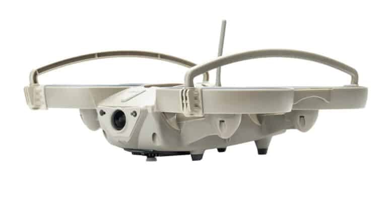
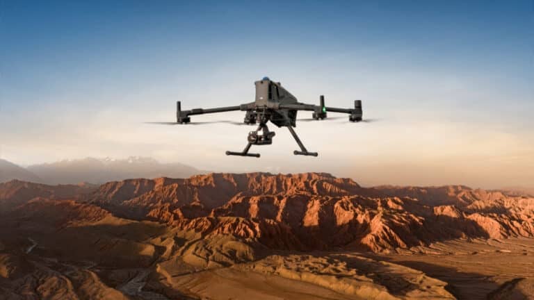
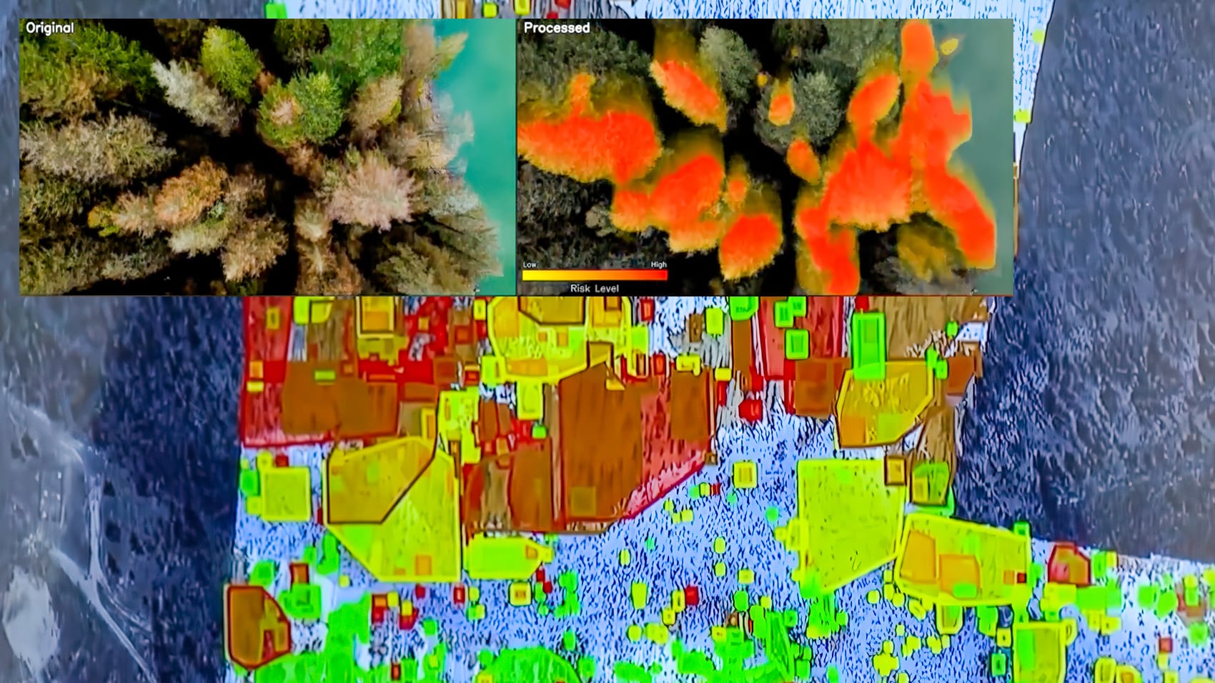
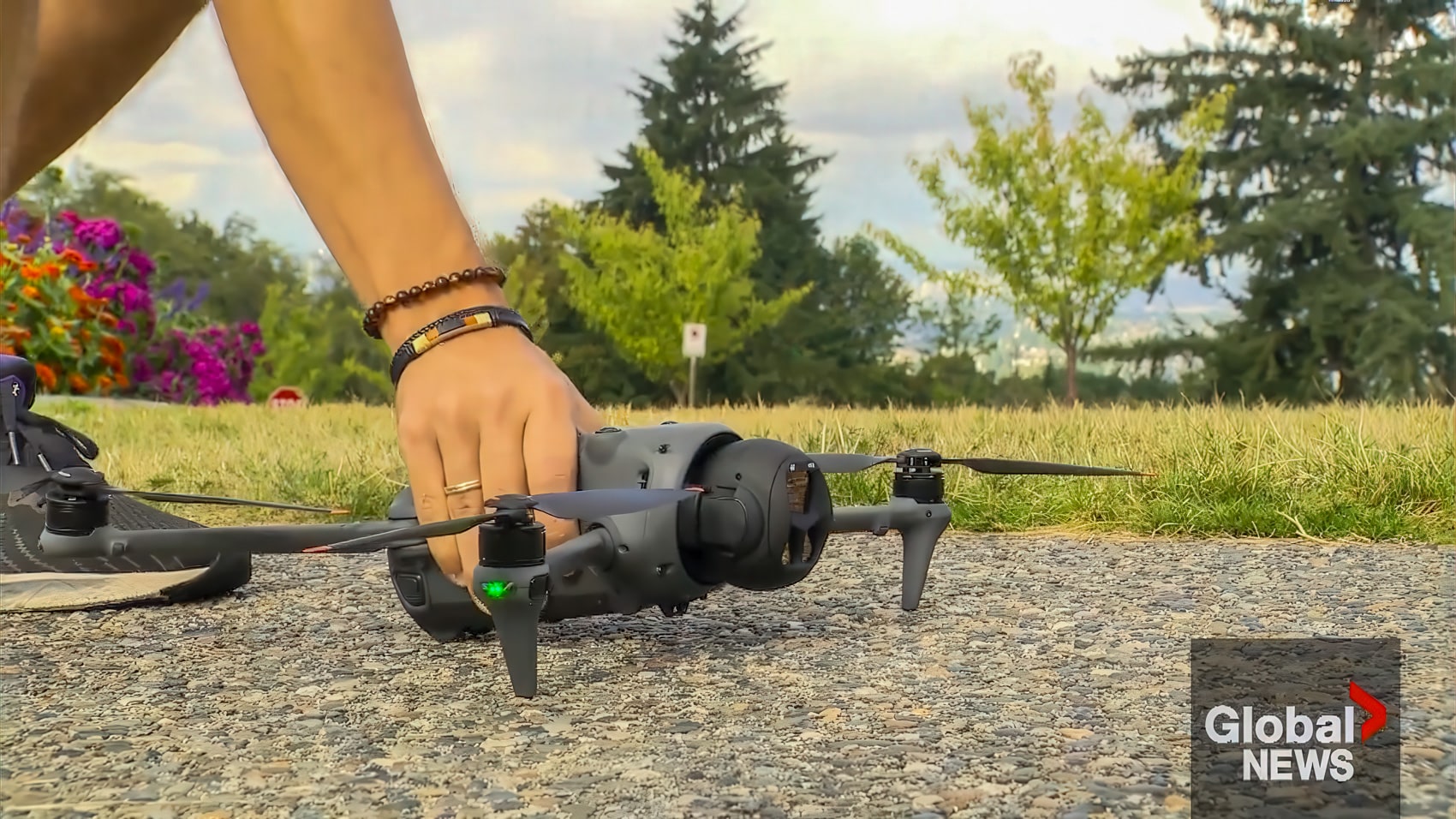
Imagine a drone zipping over BC’s rugged forests, sniffing out fire risks like a high-tech hound dog. The Global BC segment highlights BCIT’s project, led by Dr. Aibin, using drones to map wildfire-prone areas with precision that’d make your Mini 4 green with envy. These aren’t just hobby drones—they’re equipped with AI-powered computer vision to detect dry brush, map terrain, and pinpoint hotspots, giving firefighters critical intel to outsmart blazes. Aibin’s LinkedIn post spills the tea: “We’re working to help communities stay safer from wildfires,” with federal funding from Mitacs and NSERC fueling the mission.

In 2025, Canada’s wildfire season is a beast, with Global News reporting devastating blazes on Vancouver Island.
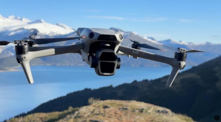
BCIT’s drones deliver detailed risk maps, spotting fire fuel where ground crews can’t go. For DJI fans, it’s a thrill—your drone’s 4K camera and obstacle sensors are kissing cousins to BCIT’s tech. Picture your Mavic scouting a smoky ridge, feeding data to firefighters. That’s the vibe: high stakes, high tech, and high impact.
Tech That Packs a Fiery Punch
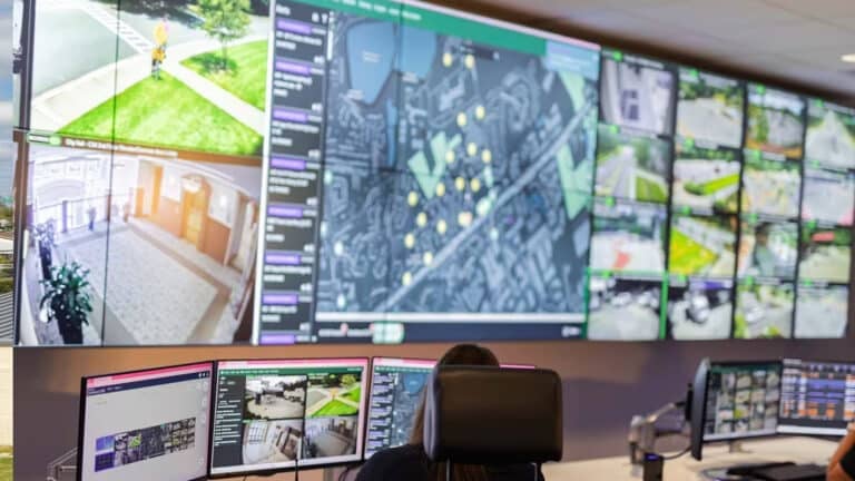
BCIT’s drones are data-crunching monsters, likely packing thermal and multispectral sensors to detect heat signatures and vegetation dryness, per the Curious Minds segment. It’s your DJI’s Live View on steroids, mapping fire fuel instead of filming sunsets. Dr. Aibin’s post hints at computer vision—a field of AI that analyzes images in real-time—crunching data on dry patches, wind patterns, and terrain to predict a blaze’s next move. These drones cover vast forests without roads, delivering intel faster than a fire truck.
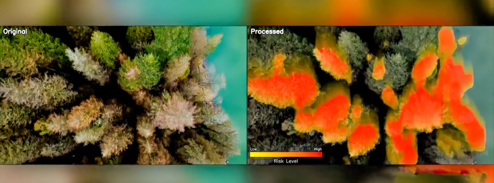
This tech echoes military “launched effects” from Sikorsky’s Black Hawk upgrades, where drones relay battlefield data. BCIT’s approach is similar: drones feed a command hub, letting crews plan smarter. For hobbyists, it’s a nod to your gear’s potential—your Mavic’s GPS could inspire wildfire-mapping apps. Aibin’s team, backed by Spexi and federal funding, is pushing boundaries, and they’re seeking more partners to scale up. Imagine your next drone with thermal imaging and AI analytics—BCIT’s already there.
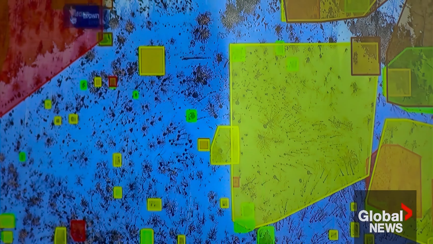
With 2025’s wildfires torching BC, these drones are lifesavers. They’re not just mapping—they’re preventing disasters by spotting risks early. It’s like your DJI Air 3, but instead of Instagram reels, it’s saving forests.
Why BCIT’s Approach Blazes Bright
BCIT’s project, as Pirani and Aibin showcase, is a masterclass in drone innovation. Ground surveys are slow and risky in BC’s rugged terrain, but drones soar over mountains, spotting dry patches and fire paths in hours, not days. Aibin’s LinkedIn post calls it “real-world impact,” and he’s not kidding—his MSc students are training to deliver solutions like this. It’s like your drone’s ActiveTrack tailing a wildfire’s next move, letting crews hit hotspots first.
This ties into BC’s drone innovation scene, from robotic hands to sustainable materials. Drones are proving they’re more than toys—they’re tackling crises. For DJI fans, it’s a wake-up call: your precision flying skills could translate to saving lives. Ever nailed a tricky orbit? You’re halfway to mapping fire zones. With Aibin’s call for industry and research partners, this project could grow, maybe inspiring global wildfire strategies.
Drone Nerds, Get Fired Up
This is a love letter to drone potential. BCIT’s wildfire-mapping drones, powered by AI, show UAS can save forests and homes, like the Army’s lethal drone training or Dallas’ pretzel jar rescue. For drone enthusiasts, it’s a glimpse of what’s next—smarter sensors, real-time data, and missions that matter. Aibin’s work could spark consumer drone upgrades, like thermal cams or AI mapping modes.
Canada’s $45.7M wildfire research budget, per Global News, signals more drone breakthroughs. This isn’t a one-off—BCIT’s tech could go global, as wildfires rage from Spain to California. Your next drone flight could be practice for something bigger.
DroneXL’s Take
As a seven-year drone pilot dodging trees and chasing sunsets, I’m ablaze over BCIT’s wildfire drones, but let’s toss some salt on this fiery taco. These AI-driven beasts mapping risks in real-time? That’s superhero-level stuff—my Mavic could only dream of thermal vision and fire-fighting glory. Aibin’s computer vision tech is sci-fi cool, turning drones into forest guardians.
But real talk: flying over smoky, windy forests is a nightmare. I’ve lost signal in a park—try keeping a drone steady in wildfire chaos. Scaling this across BC’s wilderness demands big bucks and coordination—$45.7M might not cut it. Still, it’s a win for drone fans. This tech will trickle down, so your next DJI might borrow BCIT’s tricks. Grab your controller, dream of saving forests, and fly safe, DroneXL crew—this sky’s burning bright!
Photographs courtesy of Global News
Discover more from DroneXL.co
Subscribe to get the latest posts sent to your email.
Check out our Classic Line of T-Shirts, Polos, Hoodies and more in our new store today!

MAKE YOUR VOICE HEARD
Proposed legislation threatens your ability to use drones for fun, work, and safety. The Drone Advocacy Alliance is fighting to ensure your voice is heard in these critical policy discussions.Join us and tell your elected officials to protect your right to fly.
Get your Part 107 Certificate
Pass the Part 107 test and take to the skies with the Pilot Institute. We have helped thousands of people become airplane and commercial drone pilots. Our courses are designed by industry experts to help you pass FAA tests and achieve your dreams.

Copyright © DroneXL.co 2025. All rights reserved. The content, images, and intellectual property on this website are protected by copyright law. Reproduction or distribution of any material without prior written permission from DroneXL.co is strictly prohibited. For permissions and inquiries, please contact us first. DroneXL.co is a proud partner of the Drone Advocacy Alliance. Be sure to check out DroneXL's sister site, EVXL.co, for all the latest news on electric vehicles.
FTC: DroneXL.co is an Amazon Associate and uses affiliate links that can generate income from qualifying purchases. We do not sell, share, rent out, or spam your email.


