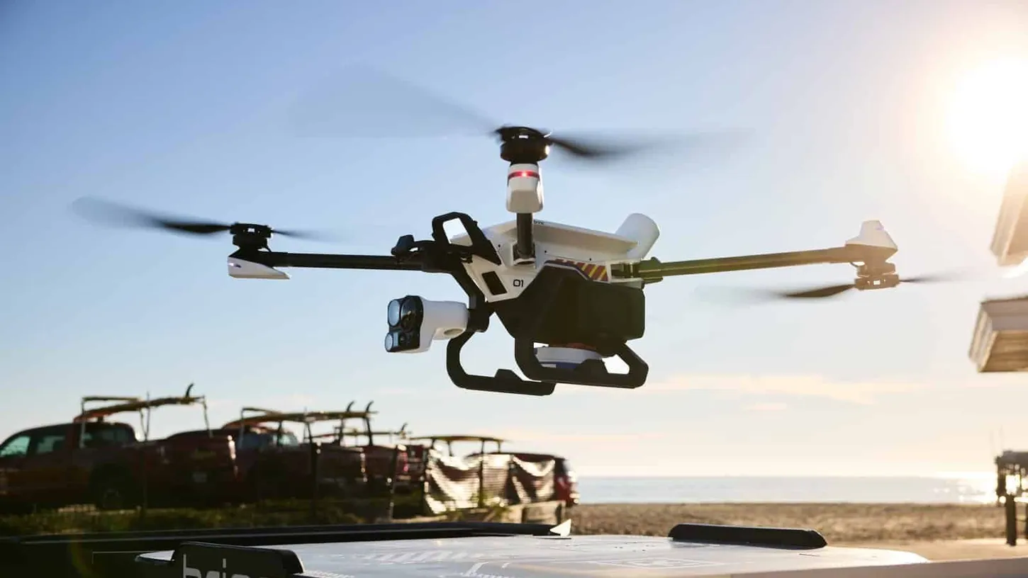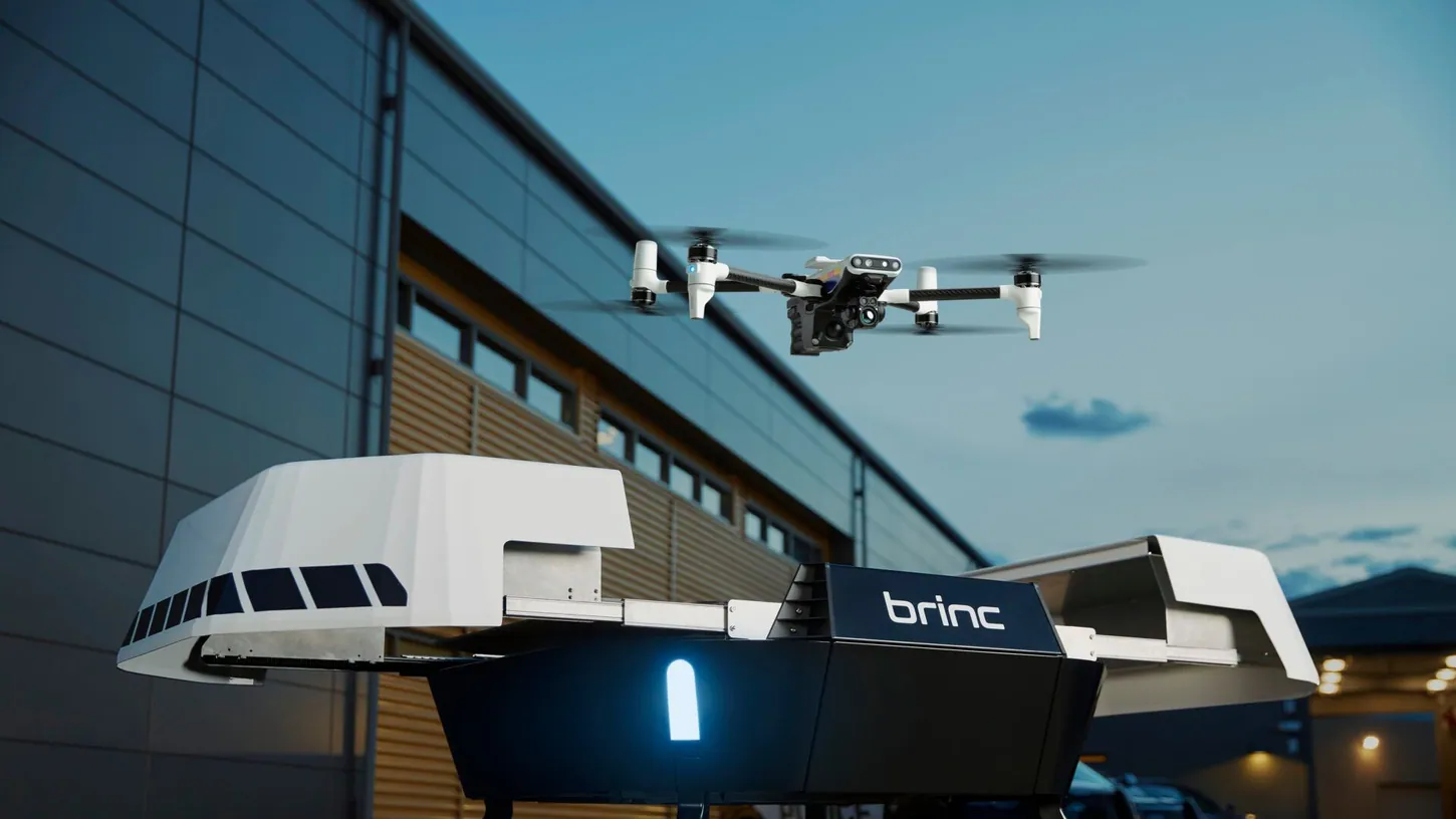
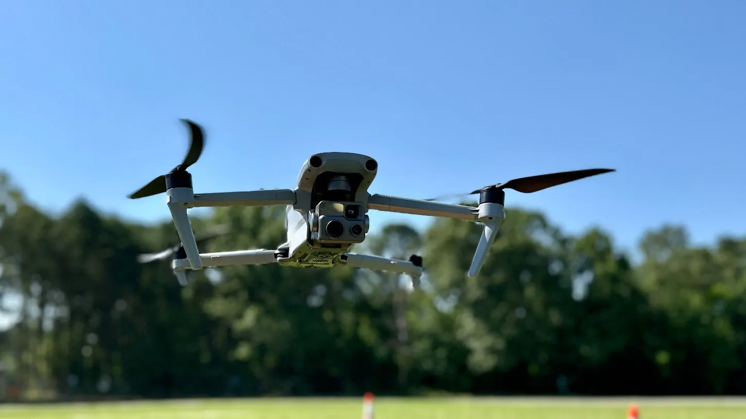
The Anne Arundel County Police Department was set to begin flying a Drone as First Responder pilot on Wednesday, Nov. 11, from an automated dock near Evergreen Road and Waugh Chapel Way. The drone covers the Waugh Chapel Towne Centre, the Route 3 corridor and parts of Gambrills, Odenton and Crofton, and police say it launches only for active 911 calls, emergencies in progress, injury crashes and officer requests.
The Maryland department already posts its drone flights on a public log at least 30 days after each one, and DroneXL went through all 2,621 entries from July 2025 through Oct. 11, 2026. Eighteen of them, flown on the two days anti-Trump No Kings rallies took place in the county, are labeled as No Kings events, a protest or a public demonstration.
The department’s own drone page lists crowd management at public special events as an approved use. The same page says the program is not used to collect video “for the sole purpose of monitoring constitutionally protected activities.”
Police Say the Waugh Chapel Drone Keeps Its Camera on the Horizon in Transit
The Waugh Chapel dock is part of the department’s annual holiday safety initiative in the Western District. Its cameras stay pointed at the horizon on the way to and from calls, and its video falls under the department’s body-worn camera evidence and retention rules, police said.
Eye on Annapolis reported that the dock uses Skydio drone technology. The department’s announcement, as reported by Eye on Annapolis and WMAR, did not say how long the pilot will run or how many flights it expects a day. Residents of the Monarch apartments and townhomes next to the dock may see the drone launch and land.
The dock adds to a patrol-response pilot the department announced in August 2025, expanding a drone program it says has more than a decade of specialized use behind it. Montgomery County made a similar camera promise for its DFR program after hearing from residents: its drones fly out with the cameras pointed up and switched off until they reach the call.
Nearly Half of Anne Arundel’s 2,621 Logged Drone Flights Were Training
Anne Arundel’s public flight log on AirData lists 2,621 drone flights from July 2, 2025, through Oct. 11, 2026. Training, testing and practice account for 1,304 of them. Another 598 carry no description at all, which leaves 719 flights tied to a call, a case or an event.
Most of those 719 match uses the department has described: missing people, crash scenes, barricades, burglaries, warrant service and traffic at school graduations. The busiest month was March 2026, with 255 flights. Nearly every entry lists a date, a time and a street or address, and many add a case number and a one-line summary.
Lewisville, Texas, also posts its DFR flights, and its log fell two months behind the department’s own press figures before the city caught it up this week. Anne Arundel’s latest entry is from Oct. 11, which fits its stated delay of at least 30 days.
Anne Arundel Police Logged 15 Drone Flights on the March 28 No Kings Day
On March 28, the third nationwide No Kings day, Anne Arundel’s log shows 15 drone flights at three locations in Pasadena, Parole and Glen Burnie. Each site has its own case number, and the entries are labeled “Public Demonstration,” “No Kings/ Day 3” and “Protest.”
The six Pasadena flights ran from 9:05 to 10:59 a.m. on Magothy Beach Road. Six more flew at the Annapolis Corporate Park in Parole from 10:59 a.m. to 1 p.m., and three at Crain Highway and Baltimore Annapolis Boulevard from 2:33 to 3:42 p.m. Those times line up with the county rallies Patch listed for that Saturday: Pasadena from 9 to 11 a.m. at an address Patch kept private, Annapolis on Riva Road from 11 a.m. to 1 p.m., and Glen Burnie Town Center, at that same intersection, from 2 to 4 p.m. DroneXL found no March 28 entry near the fourth county rally, in Odenton at Annapolis Road and Gateway Boulevard. The log adds three more flights labeled “No Kings Event” at Glen Burnie Town Center on Oct. 18, 2025, the second national No Kings day.
The entries do not say what the drones were watching for, whether they recorded, or whether anything was kept. The department’s drone program page says the drones use no facial recognition and that video with no evidentiary value is kept no more than 30 days. The same page says an annual report on drone use “is published and made publicly available.” On Nov. 11, its Annual Reports section said reports would start in 2026 and listed none.
The ACLU of Maryland raised protest monitoring when the department announced the patrol program in August 2025, pointing to Frederick County sheriff’s drones over public gatherings. David Rocah of the ACLU told The Banner that police policies should be written into enforceable rules: “There’s no consequences for violating them.” A 2025 General Assembly bill to limit police drone use died without a committee vote.
DroneXL’s Take
I’d rather see a drone than a helicopter over a big crowd at a busy intersection, and the county’s policy allows that, so a flight at a rally proves nothing on its own. The labels are my problem. The same log calls most of its Pride and St. Patrick’s Day parade flights “overwatch,” which at least names a job. Nine of the protest-day entries name No Kings outright and the other nine say “Protest” or “Public Demonstration.” None of them says what the flight was for. Anne Arundel deserves credit for publishing a log detailed enough to show this at all. As the Waugh Chapel dock adds flights over a shopping district, the department should say what those 18 flights were for and whether any of their video still exists. It should also post the annual report its own page says is already public.
Sources: Eye on Annapolis, Anne Arundel County Police Department drone program page, Anne Arundel County Police AirData flight log, Patch (March 27, 2026), The Banner (August 7, 2025), WMAR-2 News.
DroneXL uses automated tools to support research and source retrieval. All reporting and editorial perspectives are by Haye Kesteloo. Read our editorial standards.