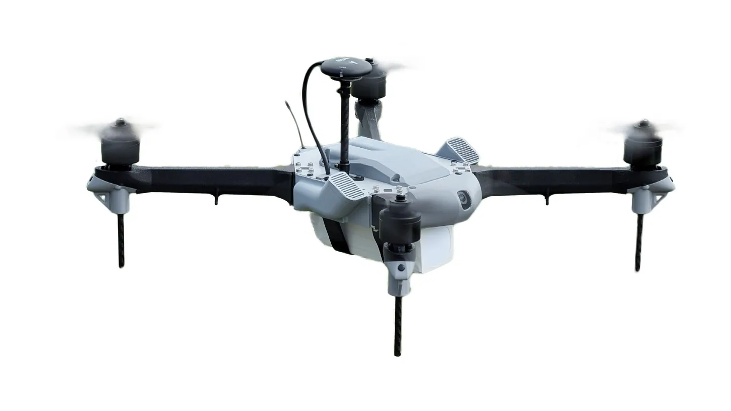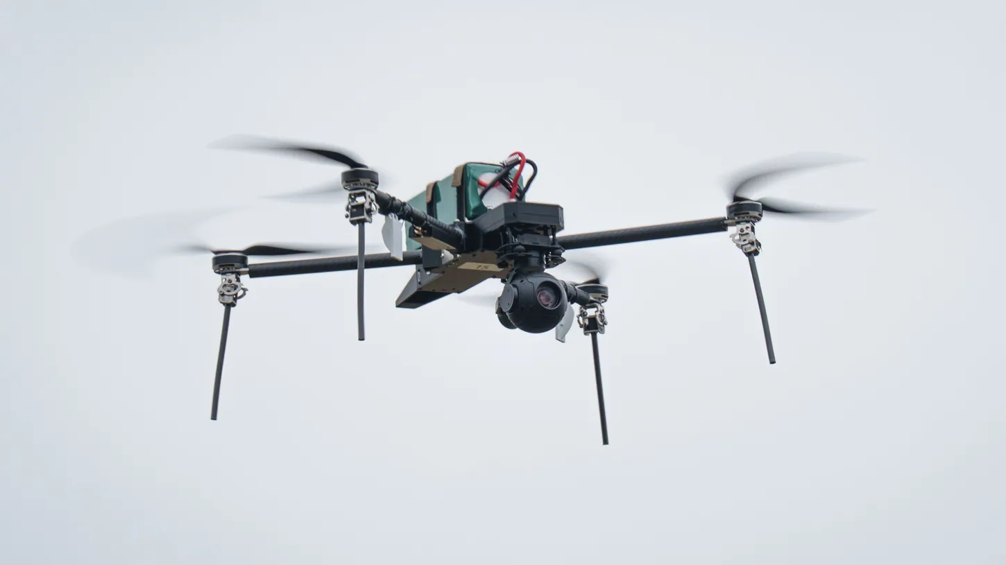
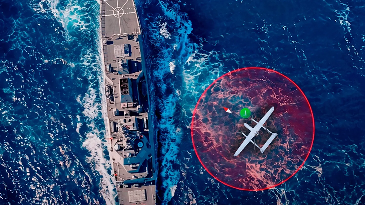
UAV Navigation, the Madrid-based drone avionics subsidiary of Spain’s Grupo Oesía, launched the HES01 heading estimation system on November 12. The company says the 95-gram module lets a drone land on the moving deck of a ship with sub-centimeter precision, and that it gives drones a heading reference when satellite navigation is gone.
The landing works by tracking a point on the ship, using real-time corrections that a ground unit on the vessel radios to the drone. The drone and the ship both need a clean satellite fix at the moment of touchdown.
UAV Navigation’s Landing Claim Rests on RTK Corrections From the Ship
The HES01 reaches its landing accuracy through RTK (Real-Time Kinematic) corrections from a GHU-100 ground hub on the vessel, wired to a second HES01 on deck. The drone must run UAV Navigation’s own VECTOR autopilot. Inertial sensors in the module correct for the deck’s pitch, roll and heave.
UAV Navigation’s announcement says “sub-centimeter,” and the HES01 product page repeats it. The spec table on the same page lists RTK accuracy of “up to 0.01 m,” which is one centimeter, at 50% reliability. The company measured that over a 1-kilometer baseline with patch antennas, and the error grows by 1 millimeter for every additional kilometer between ship and drone. UAV Navigation has published no shipboard trial data.
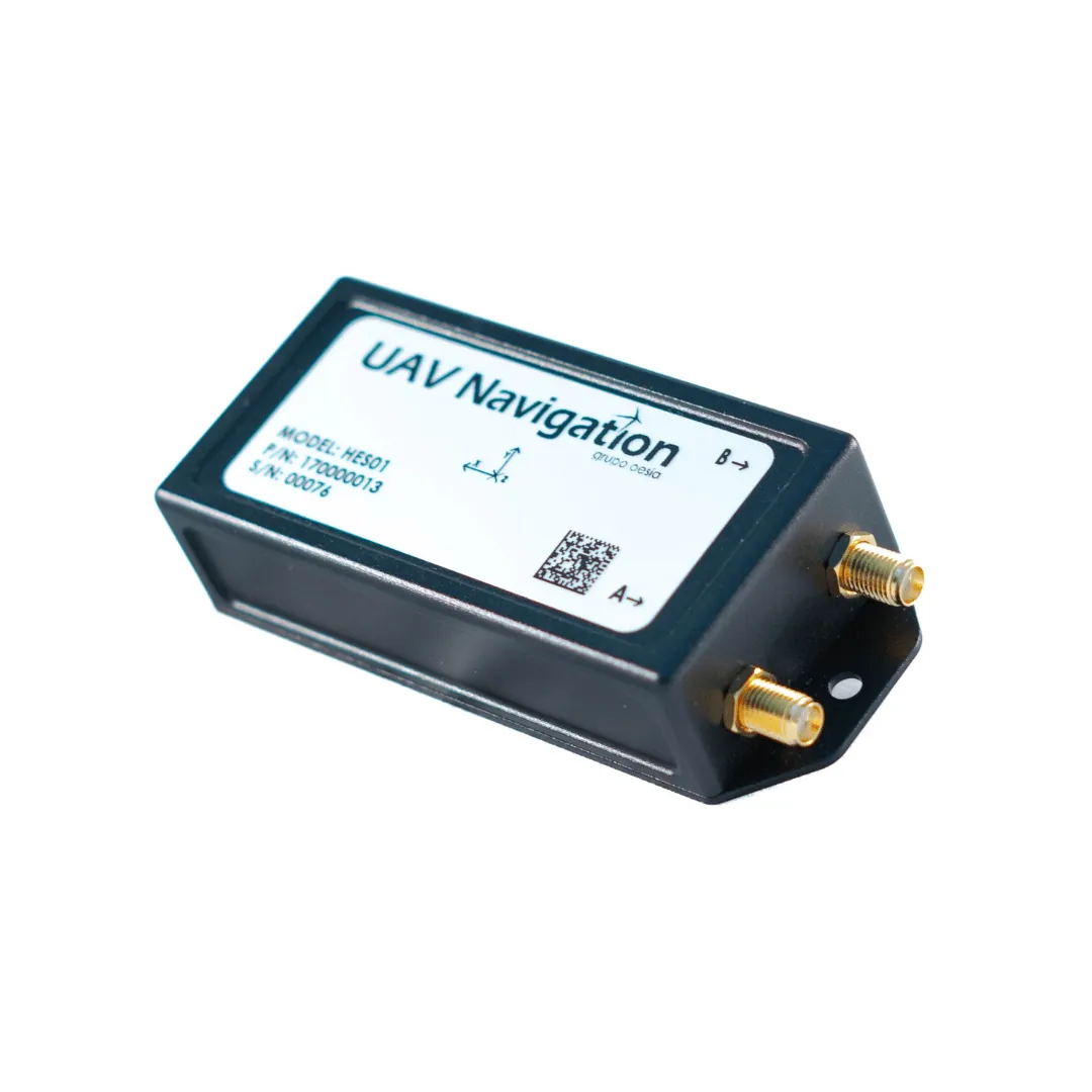
The rest of the hardware is small, and it replaces the company’s separate DGC01 GNSS compass and MG01 magnetometer. The box measures 106 x 43 x 24 mm (4.2 x 1.7 x 0.9 inches), draws about 2 watts and runs two GNSS antennas set at least 0.30 meters (about 12 inches) apart. The company rates heading accuracy at up to 0.4 degrees, static or moving, with no alignment maneuver before takeoff.
Escudo Digital Flags the Jamming Problem at Sea
Escudo Digital, a Spanish security outlet, notes that GNSS signals in the Black Sea and Red Sea are frequently jammed or spoofed. It adds that a ship broadcasting corrections to guide its drone is broadcasting its own presence, and that every HES01 figure published so far comes from the company.
UAV Navigation’s answer is its VNS01 visual navigation system, and the company calls the HES01 a complement to it in contested environments. We saw VNS01 go into Ekolot’s ZEUS VTOL for GNSS-denied missions in Poland in February. The September 2 VNS01 update added terrain-referenced navigation and satellite map matching, and says position error can be held to about 30 meters (98 feet) “under favorable operational conditions.” That accuracy comes from matching the camera view against satellite maps and terrain models, which have roads, rivers and coastlines to work with. Open water offers far fewer of those.
One HES01 feature does fit a warship. The module checks its magnetometer against the GNSS-derived heading continuously, so interference from steel decks, power lines or payloads gets caught before it corrupts navigation.
UAV Navigation is also working with the European Space Agency on navigation from low Earth orbit communication signals, under ESA’s NAVISP program, announced October 8.
DroneXL’s Take
The HES01 solves the peacetime half of ship-based drone recovery, and that half is worth solving. Navies that train every day need reliable recovery on a pitching deck, and a single 95-gram box is an easy sell. The company’s product page keeps the two modes apart: a GNSS true heading while satellites are up, and sensor fusion to hold the heading under jamming. My worry is buyers hearing “GNSS-denied” and “centimeter landing” in the same brochure and putting them together. Jamming is not only a Red Sea problem: we reported on GPS jamming that was running when a medevac crew flew into a New Mexico mountain. I’d like UAV Navigation to publish what the recovery falls back to when the RTK link drops, because that is the number a navy will actually fly on.
Sources: UAV Navigation-Grupo Oesía, HES01 product page, Escudo Digital.
DroneXL uses automated tools to support research and source retrieval. All reporting and editorial perspectives are by Haye Kesteloo. Read our editorial standards.