Revolutionizing Aerial Mapping: Wingtra’s New LIDAR Drone Solution Sets Industry Benchmark

Check out the Best Deals on Amazon for DJI Drones today!
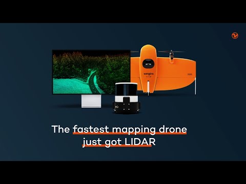
A Leap in Drone Technology
In a significant advancement for drone technology, Wingtra has unveiled its latest innovation: a cutting-edge LIDAR drone solution. This development integrates the high efficiency, ease of operation, and accuracy of WingtraOne GEN II drones with an advanced LIDAR sensor engineered by Wingtra, creating a new standard in the drone industry.
Unparalleled Precision and Efficiency
Julian Mackern, Wingtra’s Product Manager, highlighted the solution’s capacity to exceed customer expectations, reduce costs, and streamline operations. The Wingtra LIDAR drone solution promises high-precision, reliable, and repeatable data, simplifying the mapping process from setup to the generation of high-quality point clouds.
The solution is gaining momentum globally, with industries ranging from construction to environmental management turning to the WingtraOne GEN II for its efficient and safe mapping capabilities. The new LIDAR payload, incorporating a Hesai scanner, Inertial Labs IMU, and NovAtel GNSS, minimizes the need for post-processing, offering immediate, precise terrain information after each flight.

Testimonials to the Technological Marvel
Carlos Femmer of HDR and Leo Liu from Inertial Labs shared their experiences, praising the system’s exceptional precision, ease of use, and efficiency. Femmer noted the USGS topographical quality level zero results on hard surfaces, a testament to the system’s superior data alignment and minimal noise. Liu emphasized the streamlined capture and processing workflow, which significantly reduces survey times and operational complexity.
The Wingtra LIDAR drone solution boasts a vertical accuracy of 3 cm from a 200 feet flight height, with unmatched point density. Its design and automated flight patterns ensure consistent results, irrespective of the pilot’s experience level.
A Future of Simplified Aerial Mapping
Wingtra’s introduction of its LIDAR drone solution represents a pivotal moment in aerial mapping. With its promise of reduced field time, no required calibration, and an intuitive operation app, Wingtra is making high-quality LIDAR data capture accessible to a broader range of professionals. The system’s efficiency not only saves time but also reduces the cost associated with aerial surveys.
Setting New Standards
Wingtra’s commitment to innovation is evident in its latest LIDAR drone solution. By combining advanced technology with user-friendly design, Wingtra is not just meeting the current needs of various industries but is also paving the way for the future of aerial mapping. As the company continues to push the boundaries of drone technology, its solutions are set to become indispensable tools in the arsenal of professionals across multiple sectors.
Photos courtesy of Wingtra.
Discover more from DroneXL.co
Subscribe to get the latest posts sent to your email.
Check out our Classic Line of T-Shirts, Polos, Hoodies and more in our new store today!

MAKE YOUR VOICE HEARD
Proposed legislation threatens your ability to use drones for fun, work, and safety. The Drone Advocacy Alliance is fighting to ensure your voice is heard in these critical policy discussions.Join us and tell your elected officials to protect your right to fly.
Get your Part 107 Certificate
Pass the Part 107 test and take to the skies with the Pilot Institute. We have helped thousands of people become airplane and commercial drone pilots. Our courses are designed by industry experts to help you pass FAA tests and achieve your dreams.

Copyright © DroneXL.co 2026. All rights reserved. The content, images, and intellectual property on this website are protected by copyright law. Reproduction or distribution of any material without prior written permission from DroneXL.co is strictly prohibited. For permissions and inquiries, please contact us first. DroneXL.co is a proud partner of the Drone Advocacy Alliance. Be sure to check out DroneXL's sister site, EVXL.co, for all the latest news on electric vehicles.
FTC: DroneXL.co is an Amazon Associate and uses affiliate links that can generate income from qualifying purchases. We do not sell, share, rent out, or spam your email.


