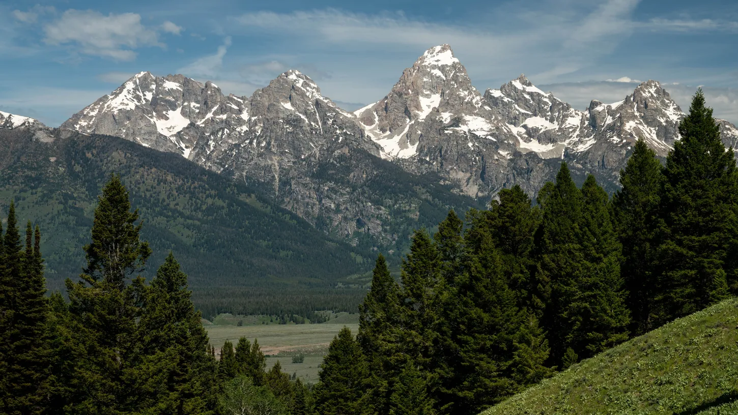
Grand Teton National Park officials are aware of a deleted drone video of a DJ in a green jacket mixing music on what the Jackson Hole News&Guide identified as Blacktail Butte. The park has not confirmed where it was filmed. Asked by the News&Guide and Outside, park spokesperson Emily Davis did not say whether the pilot had the superintendent’s written permission, whether officials are investigating, or whether rangers have issued citations.
The video was on YouTube and Reddit on October 14 and came off Reddit that morning, the News&Guide reported on October 22. It was later deleted after a wave of criticism, though another Reddit user reposted it. The pilot deleted his Reddit account and could not be reached by the News&Guide’s press time, and Outside said the video’s creator had not responded by its publication time.
Blacktail Butte’s summit, nearly 7,700 feet high, sits about three miles northeast of Jackson Hole Airport, inside the airport’s Class D airspace.
Grand Teton Bans Drone Flights Without the Superintendent’s Written OK
Launching, landing or operating a drone in Grand Teton National Park or the John D. Rockefeller, Jr. Memorial Parkway is banned without written permission from the superintendent, Public Affairs Officer Emily Davis told the Jackson Hole News&Guide. The ban covers recreation, photography, filming and commercial work alike.
A violation is a misdemeanor carrying up to six months in jail and a $5,000 fine, the National Park Service says, and rangers decide enforcement case by case. Davis cited wildlife, noise and visitor safety as reasons for the ban, and told Outside: “Unauthorized flights can also ground aerial search-and-rescue missions and wildland firefighting operations.”
Outside dated the ban to 2014. The Park Service’s own drone page, last updated May 22, 2025, still calls that year’s Policy Memorandum 14-05 in force with a few exceptions. The agency’s newer aviation reference manual says otherwise: Chapter 12, approved September 25, 2024, rescinds the memo and folds its policy into the manual, including the sentence every park must put in its compendium. It bans launching, landing or operating a drone from or on park land and water unless the superintendent approves in writing, and Grand Teton’s compendium carries it word for word. The drone page adds that Park Service jurisdiction ends at the park boundary and that the policy does not modify any FAA requirement.

Blacktail Butte Sits Inside Jackson Hole Airport’s Class D Airspace
Because Blacktail Butte sits inside Jackson Hole Airport’s Class D airspace, any drone flight there needs FAA approval, park permission or not. That airspace runs from the ground to 8,900 feet above sea level, and 100 feet is the highest altitude LAANC can approve over the summit.
DroneXL checked the summit’s coordinates against the FAA’s published airspace and UAS facility map data on October 25. The summit is 2.6 nautical miles from the airport’s reference point, and the Class D boundary runs about 2.4 miles north of it, past the butte’s north end, so the whole butte sits inside. When the tower is closed, the same area becomes Class E surface airspace, which also requires authorization under 14 CFR 107.41 and the recreational flyer rules. The grid is open to LAANC (Low Altitude Authorization and Notification Capability) requests from Part 107 pilots and recreational flyers, and anything above 100 feet needs a request through FAADroneZone.
The park decides who takes off from its land, and the FAA decides who flies in the airspace, so a legal flight on Blacktail Butte needs approval from both. Neither the News&Guide nor Outside reported which drone filmed the set, how high it flew, or whether the pilot asked the FAA for authorization.
DroneXL’s Take
Park drone videos tend to end with the clip gone and no public account of how it was shot. DJI pulled a Mavic 4 Pro promo with apparent Yellowstone and other park footage last October, four days after we asked how those shots were legal. DJI later said an independent creator made it and that it was investigating. Blacktail Butte adds an airport, and my read is that the airport is the bigger problem. Since DJI’s geofencing change in January 2025, updated DJI apps show US airport zones as FAA-based warnings a pilot can acknowledge and fly through. Whatever drone filmed this set, that leaves the pilot as the main check three miles from an airport. Get a LAANC authorization and the park’s written OK, or leave the drone in the car, because I think every unexplained flight like this one feeds the case for tighter rules on the rest of us.
Sources: Jackson Hole News&Guide, Outside, National Park Service, FAA
DroneXL uses automated tools to support research and source retrieval. All reporting and editorial perspectives are by Haye Kesteloo. Read our editorial standards.