
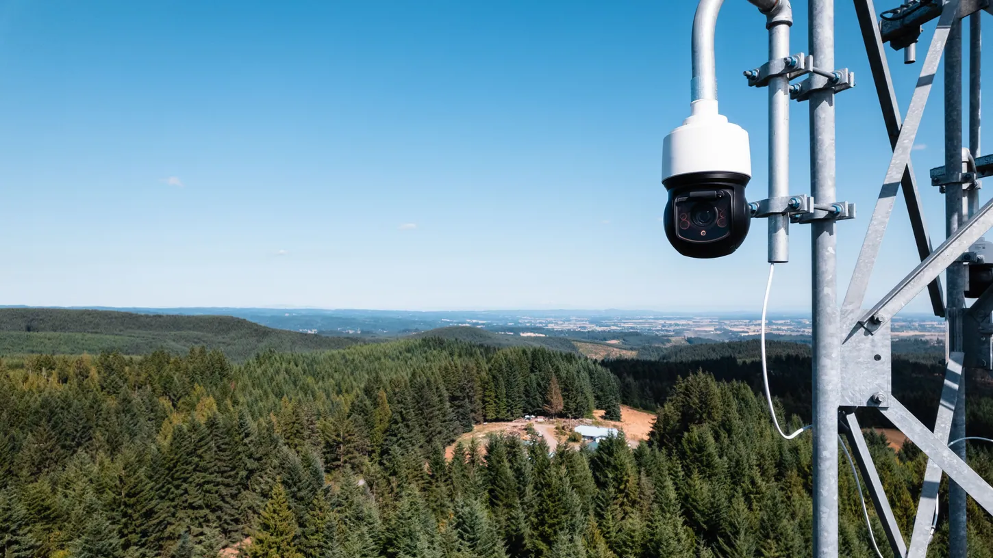
Pano AI on Wednesday opened its wildfire detection platform to drone companies, so a confirmed smoke sighting from one of its camera stations can go straight to an aircraft instead of waiting on a dispatcher. The San Francisco company announced the Drone Partner Program on November 4 at the Red Sky Summit, a sold-out wildfire technology conference in the same city, and named four launch partners: Seneca, Rain, BRINC and Censys Technologies.
Pano’s cameras already feed alerts to fire agencies and utilities across 18 states, and the company says they cover more than 95 million acres. The new program adds a second recipient. Once a customer agrees, Pano’s system alerts the drone provider automatically and passes along the triangulated coordinates of the fire.
The press release lists four partners. The launch graphic Pano posted on LinkedIn the same afternoon lists five, with Skydio’s logo on the end of the row, and the post’s text tags Skydio as a partner too.
Pano Hands the Coordinates to the Drone Operator Before Crews Arrive
Pano detects and triangulates a new ignition. It then alerts the partner drone provider with the coordinates, in coordination with the agency or utility that owns the cameras. The drone company launches and works with responders on scene, through what Pano calls a standard integration over its Incident API.
That API is already in use with Pano’s utility customers, which is why the company says partners need no custom engineering on either side. Pano says its cameras alerted on 735 vegetation fires in 2025 and were the first known alert about 60 percent of the time. Both figures are Pano’s own.
California runs a separate state network of mountaintop cameras, and DroneXL reported in July that 915 of those cameras now run AI smoke detection that has caught more than 900 fires before the first 911 call. The difference with Pano’s program is what happens after the alert. Pano’s own description of the status quo is a detection that stalls between separate tools before an aircraft hears about it.
Seneca Gets the Trigger It Was Missing in Aspen
Seneca is the only partner the release ties to a named fire department. Pano and Seneca say a camera detection now alerts Seneca’s autonomous aircraft for the Aspen Fire Protection District in Colorado, with drones rated at more than 100 pounds (45 kg) of suppressant each.
DroneXL has followed Seneca since it came out of stealth with $60 million in October 2025. Aspen Fire signed for five of its drones in February, paid for by private donors, and by March Chief Jacob Andersen was describing a trailer-based forward drone base. What neither story had was an automatic trigger: a fire still had to be reported and located before anything launched. In July, Cal Fire field-tested Seneca’s aircraft at its Fire Innovation Unit.
Seneca founder Stuart Landesberg put the pitch in one line: “get suppression in the air while crews are still making their way in.”

Rain, the Alameda startup whose autonomy kit retrofits existing aircraft for wildfire drops, is the other suppression partner. DroneXL covered Rain’s autonomous helicopter plan in 2024, when the company described prepositioning aircraft in remote locations so they could launch as soon as a fire was detected. Pano now supplies that detection.
BRINC and Censys Bring Cameras to the Fire, Not Water
The other two partners carry cameras, not suppressant. BRINC’s Drone as First Responder systems serve more than 1,000 public safety agencies, and its job is to fly a drone stationed in a community to Pano’s coordinates and stream video to incident command. Censys Technologies builds BVLOS inspection drones for utilities.
BRINC’s David Benowitz framed the gap the company is filling: “Most wildfires don’t begin with a 911 call.” In August the company pushed free wildfire and smoke layers into its LiveOps software for every agency on the platform, built on NOAA satellite data. A Pano alert gives those same agencies a reason to launch rather than a map to look at.
Censys has been flying its Sentaero VTOL beyond visual line of sight for utility inspections since at least 2024, and Pano’s Incident API already runs with its utility customers. CEO Trevor Perrott described the fit as a “common operating picture” for utilities that already watch their power lines from the air.
One line at the end of Pano’s release limits all of this: program capabilities and availability are subject to commercial partnerships. A fire agency that buys Pano cameras still buys the drone separately, and the program only connects the two.
DroneXL’s Take
This is the right architecture, and I’m glad someone built it. Every wildfire camera network I’ve covered has the same weakness: the AI spots smoke in a minute, and then the alert waits on a person to read it, confirm it and decide what to send. Handing the coordinates to the aircraft operator in the same second the alert fires is the obvious fix, and Seneca’s Aspen deal is the only named place it will be tested on a real ignition.
The 60 percent first-alert figure is Pano’s own, and it is the number this whole program rests on, because a drone launched to a false detection is a drone that is not available for the real one. The number is self-reported by the company selling the cameras, so I’d like to see Aspen Fire publish its own log after one season.
My bigger doubt is the airspace, not the software. When Aspen Fire bought its drones, Aspen Public Radio reported that details still had to be worked out with agencies including the FAA before they could fly over the federal land around town, and Wednesday’s release does not mention those approvals. An API moves coordinates in a second and does nothing for the paperwork. Until Aspen Fire has the federal-land flight approvals it said in February it still needed, the camera will know about the fire long before the drone is allowed to go.
Source: Pano AI press release via GlobeNewswire, Pano AI on LinkedIn, Red Sky Summit.
DroneXL uses automated tools to support research and source retrieval. All reporting and editorial perspectives are by Haye Kesteloo. Read our editorial standards.


