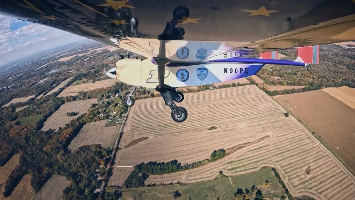
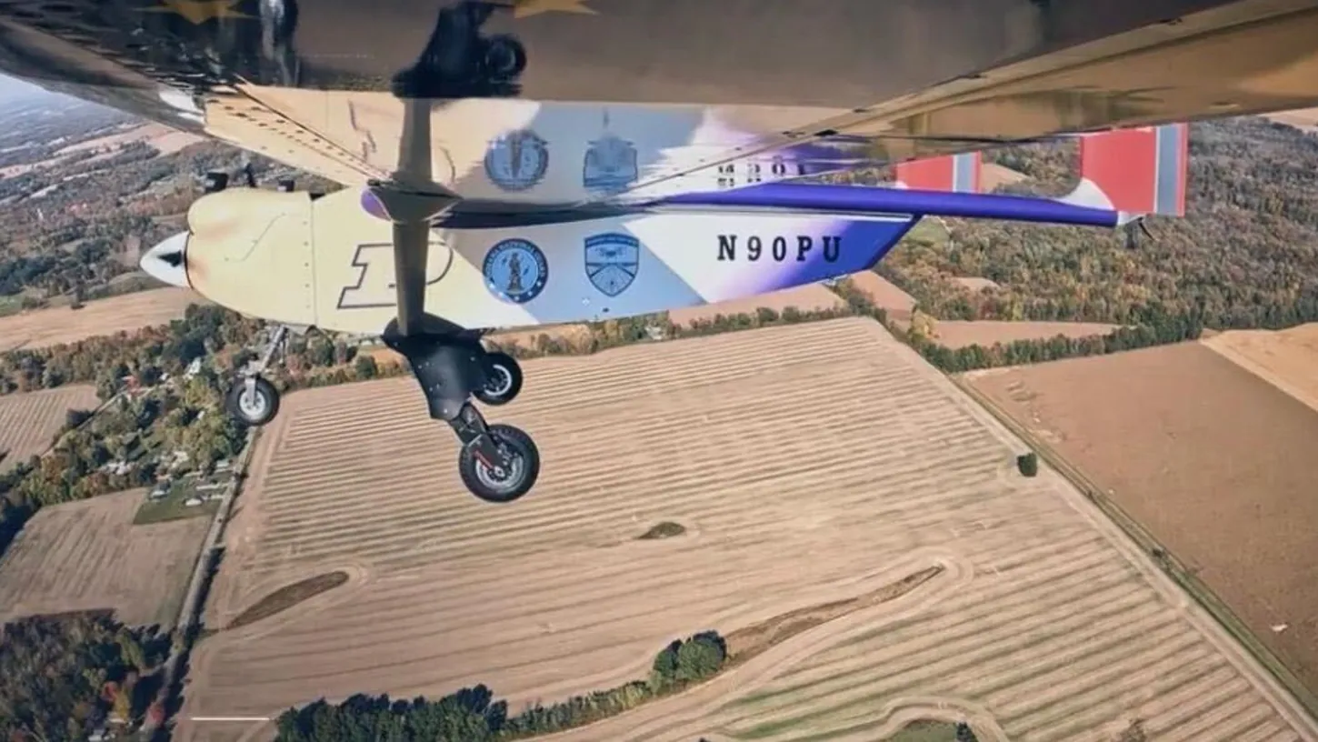
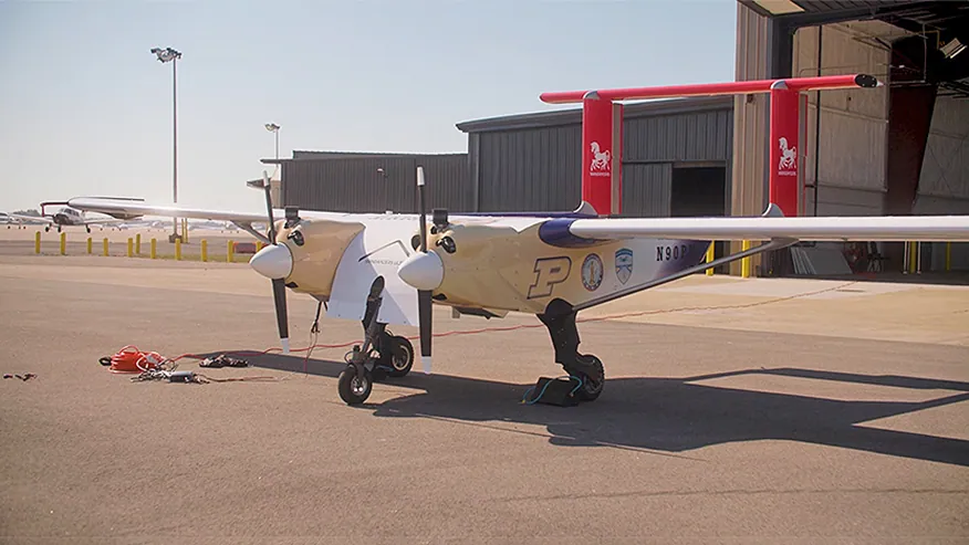
Purdue University said on November 16 that a crewed chase plane followed its Windracers ULTRA cargo drone on October 29, during the flight that opened the Indiana Drone Corridor at Terre Haute Regional Airport. Brian Dillman, who heads Purdue’s School of Aviation and Transportation Technology, flew the chase plane himself.
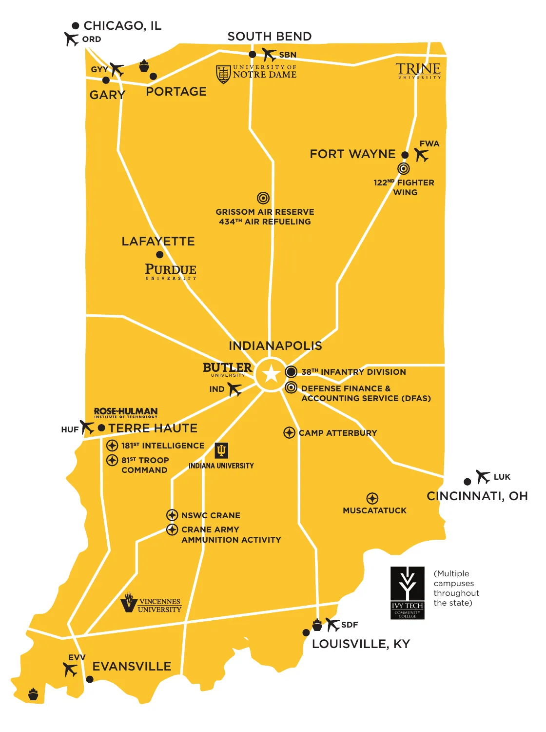
Purdue also gave the corridor’s exact size. It is 224 miles (360 kilometers) long and 15 miles (24 kilometers) wide, and it links West Lafayette and Terre Haute with Camp Atterbury and the Muscatatuck Urban Training Center.
The flight was announced as the corridor’s first beyond visual line of sight (BVLOS) flight, and I reported it that way on November 8 from Windracers’ announcement. That announcement does not mention a chase plane.
Purdue’s Aviation School Head Watched The Drone From A Second Aircraft
Dillman’s crewed chase plane monitored the ULTRA throughout the October 29 demonstration. In Purdue’s release, he said the plane was there to assure the drone’s safe operation and to keep it separated from aircraft that were not part of the event.
That second job is the hard one in any BVLOS flight. Federal rules require every person operating an aircraft to see and avoid other aircraft, and a drone has nobody on board to look out the window. A pilot flying alongside is a long-standing way to cover that gap.
Purdue’s release does not say which FAA authorization the flight used, and neither did Windracers’ announcement. The Federal Aviation Administration (FAA) has not published Part 108, the rule that would make BVLOS flight routine. The White House regulatory office still lists the final rule as pending review today. It has been there since July 10, which is 130 days, and federal law requires the rule by December 7.
Windracers put the October 29 flight at more than 50 miles (80 kilometers). That is about a quarter of the corridor’s length.
Purdue Puts The Indiana Drone Corridor At 224 Miles By 15 Miles
Purdue’s release says the test site built the corridor with Purdue, the Indiana National Guard and Naval Surface Warfare Center Crane. It gives users military-restricted, special-use and general-use airspace. Purdue says it was designed with both the FAA and the Federal Communications Commission.
The test site’s own website says a “225+ mile BVLOS corridor has preliminary approval” and describes it as in development and subject to regulatory approval. Indiana got the site in January, when the FAA designated its first new test sites in nearly a decade.
Purdue researchers will use the corridor through AIDA3, the university’s Center on AI for Digital, Autonomous and Augmented Aviation, which launched with Windracers as a partner. Interim director Inseok Hwang said in the release that several people are needed today to operate one drone, and that the center wants one operator to coordinate several at once.
William Crossley, Purdue’s head of aeronautics and astronautics, attended the ribbon-cutting. He said the partnership has to enable these aircraft while “balancing the need for privacy, security and safety.”
DroneXL’s Take
Purdue did this the right way, and it disclosed the chase plane in its own release. A 33-foot (10-meter) cargo drone was flying out of a public airport with a governor and a senator watching, and a pilot in a second airplane kept eyes on it. I’d have done the same. It also means the first flight in a 224-mile BVLOS corridor took a drone, a second aircraft and a second pilot. Part 108, which the FAA proposed so that BVLOS flights would no longer be approved waiver by waiver, is still at the White House, and nobody has said what this flight’s authorization required. Until Purdue or the test site says, I’d expect a chase plane or observers on the next corridor flight too.
Sources: Purdue University, Windracers, Midwest UAS Test Site of Indiana, OIRA review list, 14 CFR 91.113
DroneXL uses automated tools to support research and source retrieval. All reporting and editorial perspectives are by Haye Kesteloo. Read our editorial standards.