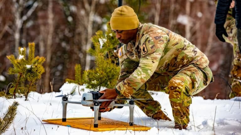
University of Minnesota Drone Swarms Map Wildfire Smoke in 3D to Predict Fire Behavior
Check out the Best Deals on Amazon for DJI Drones today!
University of Minnesota researchers successfully completed their 11th field trial of autonomous AI-powered drone swarms that analyze wildfire smoke patterns in three dimensions, marking a significant step toward deploying academic research for real-world emergency response as climate change intensifies fire seasons nationwide.
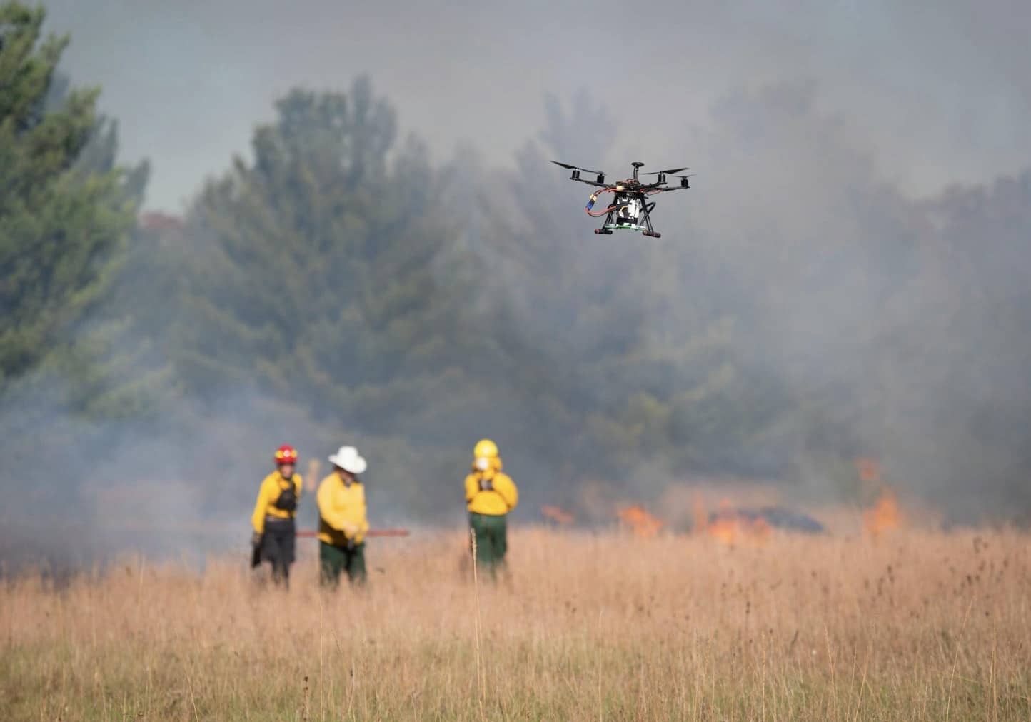
On October 24, graduate student Nikil Krishnakumar stood on a 30-acre prairie at Cedar Creek Ecosystem Science Reserve in East Bethel, Minnesota, holding a controller in the air as five black drones zipped through smoke from a prescribed burn, reports the Star Tribune. “It’s all autonomous now,” he said. “I’m not doing anything.”
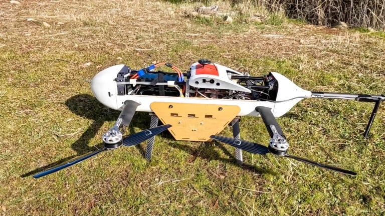
The aerial robotic team’s mission goes beyond simple fire detection. These custom-built 11-pound (5kg) drones collect particle data at multiple elevations, sending information to ground computers that analyze smoke flow patterns to understand how wildfires behave and spread. Unlike traditional satellite-based monitoring, the coordinated swarm captures multiple angles simultaneously to create comprehensive 3D reconstructions of smoke plumes.
From Crashes to Autonomous Flight: 11 Trials of Trial and Error
The University of Minnesota team has been refining this technology through persistent iteration. Early prototype drones crashed multiple times during previous field tests, leading researchers to fundamentally redesign their systems with upgraded sensors for better data collection, enhanced autonomous steering capabilities, and improved propulsion through larger frames and better propellers.
“The big picture is one day these drones can be used to understand where the wildfires go, how they behave and to perform large-scale surveillance of wildfires,” Krishnakumar said. “The major challenge we’re trying to understand is how far these smoke particles can be transported and the altitude in which they can go.”
The research addresses a critical gap in wildfire science. Between 2012 and 2021, 43 prescribed burns spiraled out of control and became wildfires nationwide, according to the Associated Press. Understanding how smoke particles disperse could help firefighters better manage both wildfires and controlled burns.
Understanding Particle Behavior to Stop Fire Spread
Researcher Yue Weng explained that understanding particle behavior—particularly embers—can help firefighters prevent wildfires from spreading before they escalate into major disasters. The drones fly at different heights simultaneously, measuring particle composition at various elevations to build a complete picture of smoke dynamics.
“A key step is understanding the composition of smoke particles and how they disperse,” said Professor Jiarong Hong of the University of Minnesota’s Department of Mechanical Engineering, who serves as senior author on the research. “Smaller particles can travel farther and stay suspended longer, impacting regions far from the original fire.”
The team published their findings in Science of the Total Environment, a peer-reviewed scientific journal, demonstrating how their multi-view drone swarm approach enables high-resolution data collection across large areas at lower cost than satellite-based tools.
Technical Capabilities and Future Improvements
The current drone swarms operate for approximately 25 minutes per flight, with reduced endurance in colder temperatures. Each custom-built quadcopter carries advanced sensors and onboard computer vision systems that can identify smoke and autonomously navigate into it to collect data—a capability that distinguishes these research platforms from traditional drones.
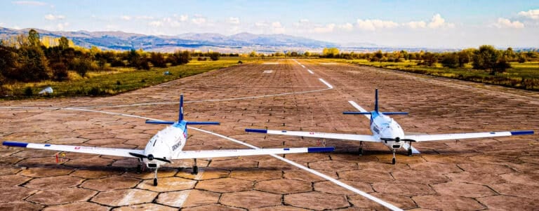
Future improvements funded by the University of Minnesota and the National Science Foundation include extending battery life, collecting more comprehensive data, and integrating fixed-wing VTOL (Vertical Takeoff and Landing) drones that can fly for over an hour, enabling extended-range surveillance missions.
The technology has potential applications beyond wildfires, including monitoring volcanic eruptions, sandstorms, and other airborne hazards. Hong emphasized that early detection remains crucial: “The sooner you can see the fire, the faster you can respond.”
Minnesota’s Growing Wildfire Challenge
The research comes as Minnesota faces increasing wildfire threats. According to the state Department of Natural Resources, 1,200 wildfires have been recorded in Minnesota in 2025 alone. The state has also implemented complementary detection systems, with utility company Xcel installing 36 tower-mounted, AI-equipped high-definition cameras near power lines in Mankato and Clear Lake to automatically notify fire departments when fires are detected.
Though Hong acknowledged the project still has a long way to go before deployment for large-scale wildfires, the research represents a significant step toward using fully autonomous drone systems for emergency response and scientific research missions.
DroneXL’s Take
The University of Minnesota’s research occupies a fascinating niche in the rapidly expanding wildfire drone ecosystem. While we’ve covered numerous commercial firefighting drone deployments—from California startup Seneca’s $60 million funding round for active suppression drones to UK researchers testing 30-drone swarms for detection and suppression—Minnesota’s approach tackles something more fundamental: understanding smoke behavior at the particle level.
This is the foundational science that could make all other applications smarter. While NASA’s ACERO Act pushes $15 million toward low-visibility firefighting drones and Carnegie Mellon develops AI navigation for smoke environments, Minnesota’s particle-level analysis could inform everything from air quality predictions to fire spread modeling.
The academic persistence here matters. Eleven field trials with multiple crashes before achieving reliable autonomous flight demonstrates the unglamorous reality of advancing drone technology beyond controlled lab environments. Compare this methodical approach to the rapid battlefield iteration we’re seeing with autonomous drone swarms in Ukraine and Norway’s operational NATO deployments—both contexts where failure has immediate consequences.
What’s particularly promising is the cost-effectiveness angle. While German startup Dryad Networks secured €6.3 million for permanently stationed autonomous suppression drones, Minnesota’s research suggests that coordinated swarms using relatively affordable hardware can deliver high-resolution data previously available only through expensive satellite systems. This democratization of wildfire monitoring technology could prove essential as climate change pushes fire season earlier and longer.
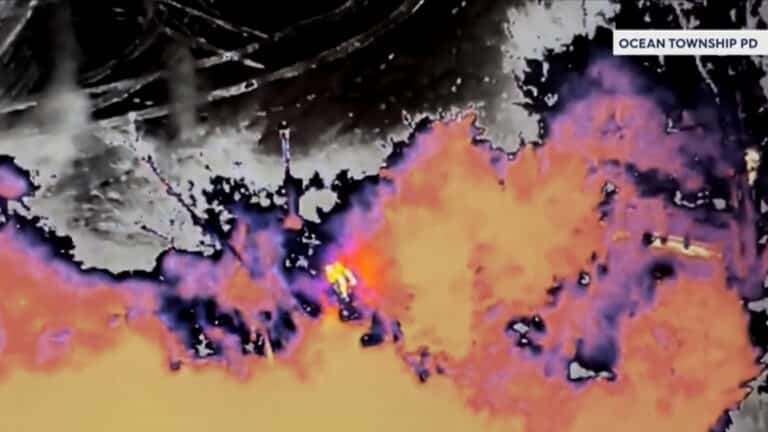
The integration potential is intriguing too. Imagine combining Minnesota’s particle transport modeling with BCIT’s AI-powered risk mapping in British Columbia or Albuquerque Police’s thermal imaging patrols. The data from one system could inform the predictive models of another, creating a comprehensive wildfire intelligence network.
There’s even a cross-industry angle worth noting: over at our sister site EVXL, we covered how Hyundai transformed its IONIQ 9 electric SUV into a mobile drone station for post-wildfire reforestation. These academic smoke-tracking drones could theoretically operate from similar electric vehicle platforms, creating truly mobile wildfire response laboratories.
The 25-minute flight time remains a limitation, but it’s not insurmountable. The team’s planned integration of fixed-wing VTOL platforms mirrors broader industry trends toward hybrid drone designs that balance endurance with maneuverability. And frankly, 25 minutes of detailed particle analysis beats zero minutes of guessing how smoke will behave.
As wildfire seasons intensify and more than 40% of the U.S. population lives in areas prone to wildfire smoke exposure, this kind of foundational research becomes increasingly critical. The gap between “interesting academic project” and “deployed emergency response tool” is closing faster than ever, driven by climate urgency and proven commercial success from companies like Seneca and others.
What do you think? Share your thoughts in the comments below.
Discover more from DroneXL.co
Subscribe to get the latest posts sent to your email.
Check out our Classic Line of T-Shirts, Polos, Hoodies and more in our new store today!

MAKE YOUR VOICE HEARD
Proposed legislation threatens your ability to use drones for fun, work, and safety. The Drone Advocacy Alliance is fighting to ensure your voice is heard in these critical policy discussions.Join us and tell your elected officials to protect your right to fly.
Get your Part 107 Certificate
Pass the Part 107 test and take to the skies with the Pilot Institute. We have helped thousands of people become airplane and commercial drone pilots. Our courses are designed by industry experts to help you pass FAA tests and achieve your dreams.

Copyright © DroneXL.co 2026. All rights reserved. The content, images, and intellectual property on this website are protected by copyright law. Reproduction or distribution of any material without prior written permission from DroneXL.co is strictly prohibited. For permissions and inquiries, please contact us first. DroneXL.co is a proud partner of the Drone Advocacy Alliance. Be sure to check out DroneXL's sister site, EVXL.co, for all the latest news on electric vehicles.
FTC: DroneXL.co is an Amazon Associate and uses affiliate links that can generate income from qualifying purchases. We do not sell, share, rent out, or spam your email.


