Warwick, Rhode Island has slipped past the launch window its police chief set in March, and the reason sits at the end of the runway. Col. Michael G. Lima told the Providence Journal that the city’s Drone as First Responder program is waiting on Federal Aviation Administration airspace approvals that could take another 30 to 60 days. In March he had hoped to be flying within about two months.
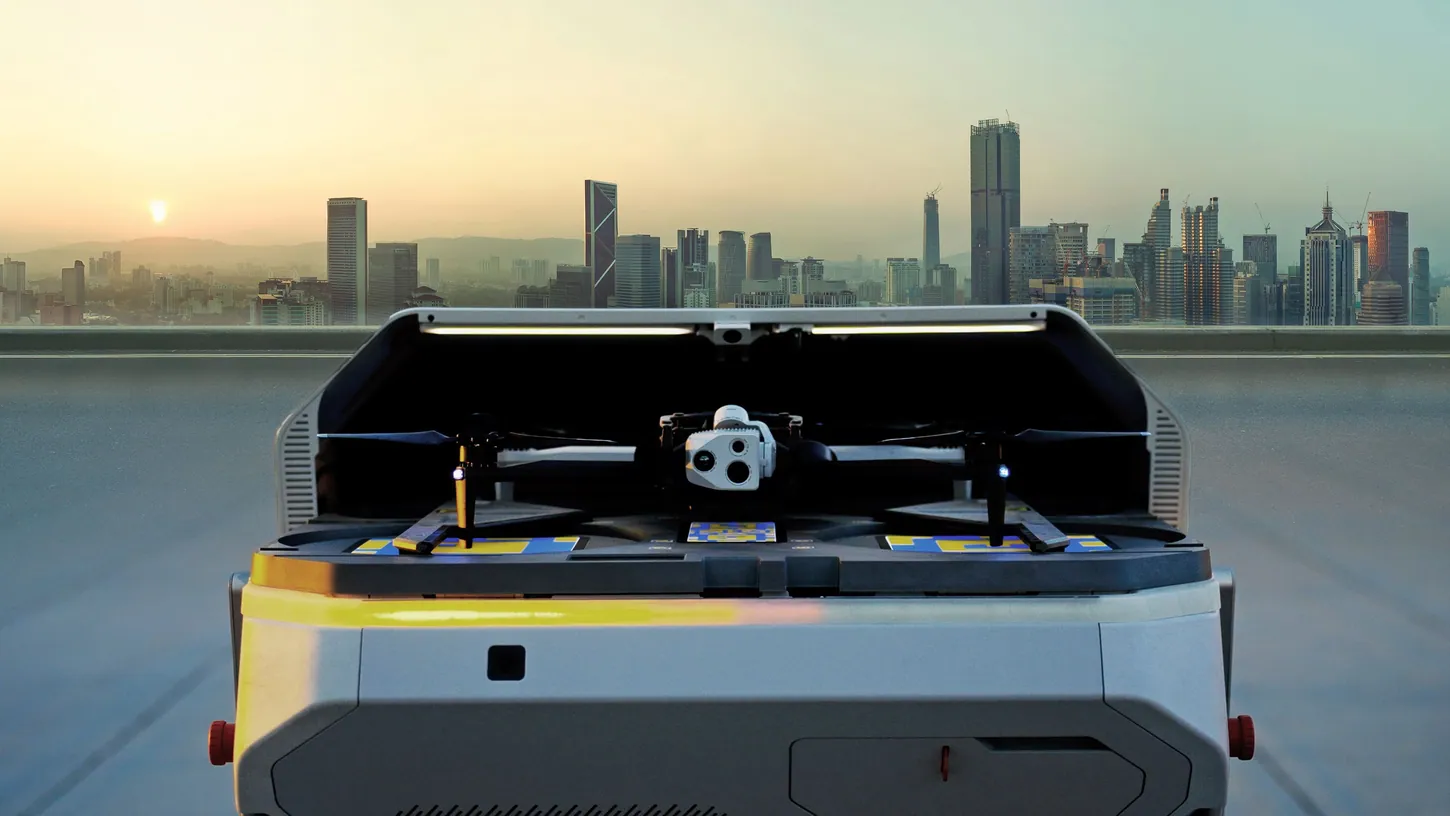
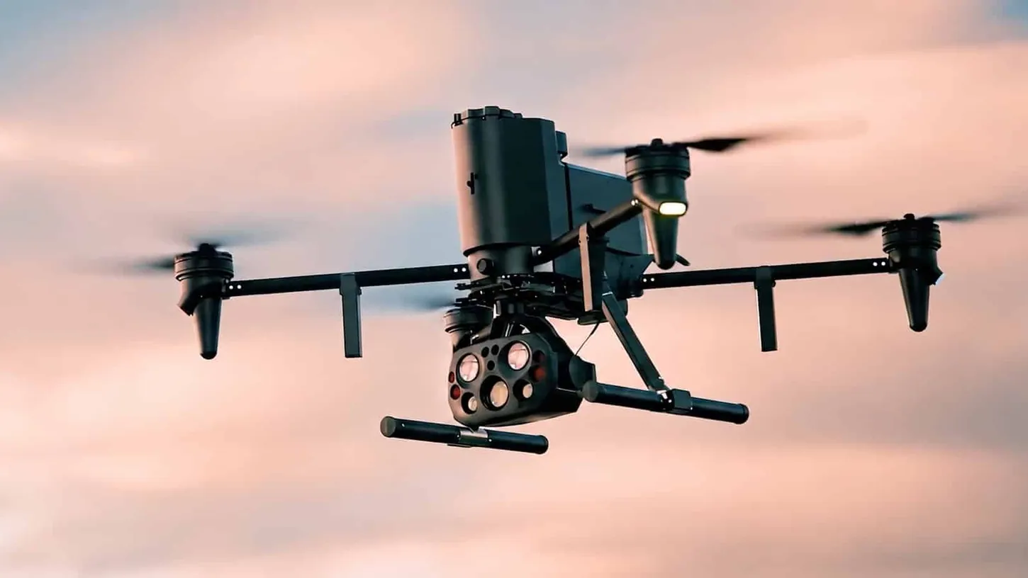
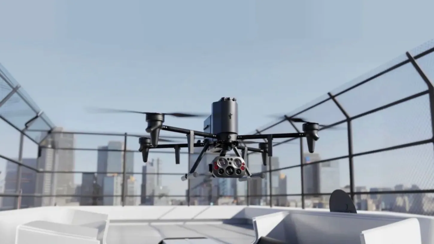
The aircraft is a Flock Safety Alpha, bought under a three-year, $150,000 contract the City Council approved in March. It will live in a dock on the police headquarters roof and fly itself to 911 calls. Warwick is also home to Rhode Island T.F. Green International Airport, the busiest in the state, and the FAA’s facility map for the airspace around it reads zero feet in grid after grid.
In March, WPRI reported the drone had received special permission to operate near T.F. Green, and Lima said then that the FAA was sure it would not interfere with planes around the runway. Seven months later, the airspace submissions are still on an FAA desk.
FAA facility maps put zero-foot grids over much of Warwick
The FAA’s UAS Facility Maps divide controlled airspace into grid squares, each carrying the maximum altitude the agency approves without further review. Around T.F. Green, several squares read zero feet. Any flight there needs further review and coordination inside the FAA, as does any request above a grid’s number.
Lima walked the Providence Journal through the map. Much of Rhode Island carries no grids at all. Warwick and North Kingstown, home to Quonset Point Air National Guard Base, are the exceptions. The zero squares sit right at Green and in the neighborhoods next to it.
His workaround is the camera. The Alpha can hover inside approved airspace and zoom into a scene that sits in a square it cannot enter. “I mean, it’s not perfect,” Lima said. “But you can still see pretty clearly that area.” The city has filed its requests and is waiting. Lima hopes to find common ground with the agency on where the drone can be.
Warwick already holds its BVLOS waiver, the easier half
Warwick has received an FAA waiver from the visual line of sight requirement, the rule that makes most operators keep the drone in view. Lima called it the first waiver the department applied for and the first it received. The airspace approvals around the airport are the half still pending.
That is the usual order of difficulty reversed. BVLOS waivers were the choke point for Drone as First Responder programs for years, and departments like St. Cloud, Minnesota treated getting one as the milestone. Warwick cleared that one first. An airport inside the response radius is the harder problem.
While the drone waits, structural engineers are assessing a section of roof at police headquarters for the dock. After that, Lima said, the city electrician needs a couple of days to run power and Ethernet to the roof, and then the program rolls.
Providence got there first. Its program launched in early June on Axon hardware, with three docked drones on the roof of the Public Safety Complex feeding video to the Real-Time Crime Center below, according to a WPRI Target 12 survey that found 28 of Rhode Island’s 39 law enforcement agencies now own drones. Providence has already used the drones to follow a road-rage stabbing suspect from the air after a license plate camera flagged the car. Its roof sits about six miles (10 kilometers) north of T.F. Green, outside the airport’s surface ring, where the FAA map mostly reads 400 feet (122 meters).
Flock’s Alpha arrives with its plate reader switched off
Warwick’s ordinance bans license plate reading cameras that are not mounted in a fixed location. Flock built the Alpha to read a plate from 2,000 feet (610 meters) away, and Lima acknowledged the drone has that feature. He said he asked Flock to turn it off.
The plate camera is the feature Flock markets hardest. The company’s spring campaign for the Alpha put the 2,000-foot plate read at the center of the pitch, because it ties the drone into the ground-based license plate reader network Flock already sells across Rhode Island, Warwick’s 10 fixed cameras included. Warwick is paying for the camera and asking Flock to switch off the function that distinguishes it.

Lima has said the drone will respond to calls only and will not patrol, a reactionary tool rather than a roving one. Under the contract terms the council approved, a supervisor signs off on every launch and footage is deleted after 30 days unless it is held for an investigation. The department’s manually flown drones stay in service for investigations. Flight paths and the reason for each launch will appear on the department’s existing Flock transparency portal, and the Rhode Island ACLU, which warned of surveillance creep of the kind that sank Bridgeport’s Flock program five days after launch, told WPRI in March that the portal was a good step.
DroneXL’s Take
Warwick is the useful case because the airport is the only thing left in the way. A chief who talked about FAA clearance in March is talking about 30 to 60 days in October, and the gap between those two statements is the part every other city should study.
Vendors sell DFR as a turnkey product, and for most suburbs it is. Flock’s Alpha launch announcement talks about speed, endurance and plate reads and says nothing about airports. A Class C airport inside the response radius turns the FAA paperwork from a formality into the critical path. Every city with a commercial runway should read Warwick’s timeline before it signs: budget the airspace coordination as its own project, with its own months, and ask the vendor which grids it has actually cleared for a customer before.
I also think Lima’s camera workaround is the honest answer and a weak one. Hovering outside a zero grid and zooming in gets you a picture. It does not get the drone over the call, and the whole pitch of DFR is being over the call before the cruiser is. Watch whether the FAA’s response, when it comes, gives Warwick altitude in those zero squares or leaves the drone looking in from the edge. The second outcome is a $150,000 camera on a pole with a good zoom.
Sources: Providence Journal, WPRI, Warwick Beacon, Flock Safety
DroneXL uses automated tools to support research and source retrieval. All reporting and editorial perspectives are by Haye Kesteloo. Read our editorial standards.